Hash Notes by Tinks
Hash Photos by Blue Flasher
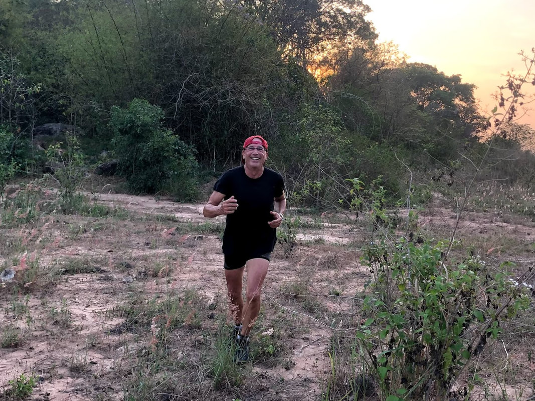
Hash Photos by Orange Pippin
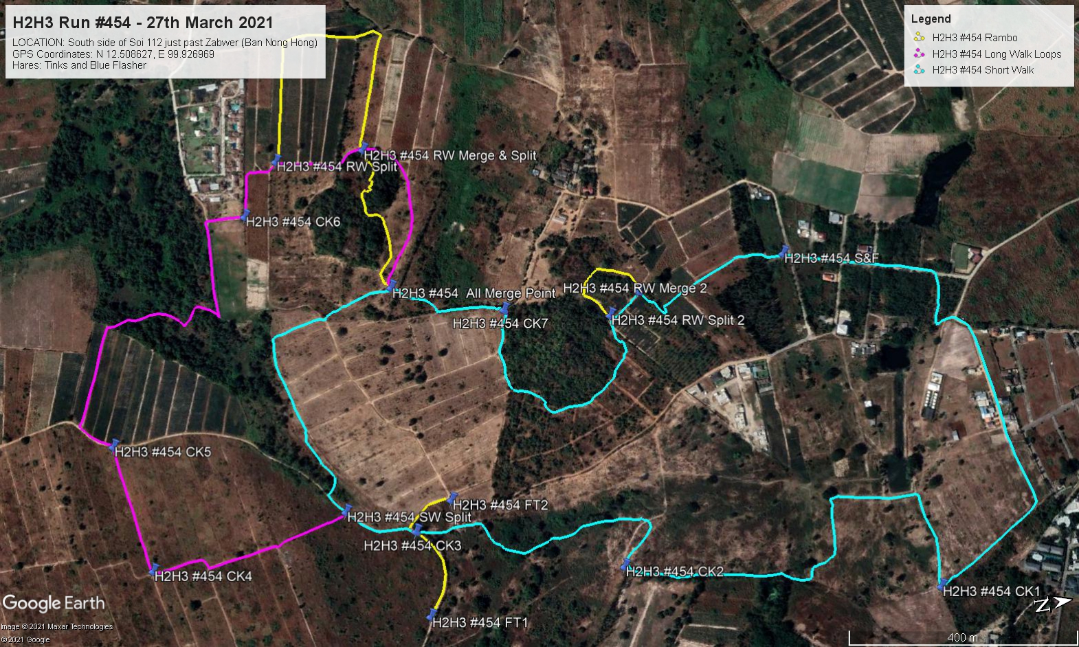
GPS Image of Trails by Tinks
The H2H3 Trails set by Tinks and Blue Flasher were:
Short Walk: 4.2 km (Cyan Trail)
Elevation: Min 39 m, Max 66 m, Gain/Loss 55.9 m.
Maximum Slope: Ascent 11.3%, Descent 11.9%
Long Walk: 5.6 km (Magenta Trail)
Elevation: Min 39 m, Max 66 m, Gain/Loss 69.9 m.
Maximum Slope: Ascent 10.5%, Descent 11.1%
Rambo Trail: 6.3 km (Yellow Trail)
Elevation: Min 36 m, Max 68 m, Gain/Loss 79.2 m.
Maximum Slope: Ascent 10.0%, Descent 10.6%
Trails went clockwise.
On On Tinks
Hash Photos by Blue Flasher
Hash Photos by Orange Pippin
GPS Image of Trails by Tinks
The H2H3 Trails set by Tinks and Blue Flasher were:
Short Walk: 4.2 km (Cyan Trail)
Elevation: Min 39 m, Max 66 m, Gain/Loss 55.9 m.
Maximum Slope: Ascent 11.3%, Descent 11.9%
Long Walk: 5.6 km (Magenta Trail)
Elevation: Min 39 m, Max 66 m, Gain/Loss 69.9 m.
Maximum Slope: Ascent 10.5%, Descent 11.1%
Rambo Trail: 6.3 km (Yellow Trail)
Elevation: Min 36 m, Max 68 m, Gain/Loss 79.2 m.
Maximum Slope: Ascent 10.0%, Descent 10.6%
Trails went clockwise.
On On Tinks
 RSS Feed