|
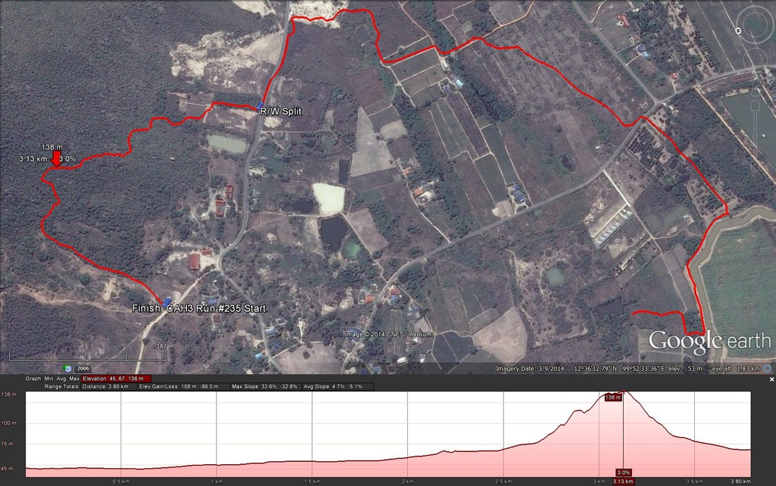
Fellow Hashers, Regrettably I forgot to switch on my GPS until 19 minutes into the Run. Yesterdays runners trail for me was around 5.9 km in around 68 min. For the part I did record the following data: Length 3.8 m in 49:.18 min. Elevation - Min 45 m Max 138 m, Gain 108 m, Loss 86 m, Max slope - Ascent 33.6%, Descent 32.8%. Route went anti-clockwise The runners loop was 1.3 km and took me 25:31 min. ON ON Tinks
0 Comments
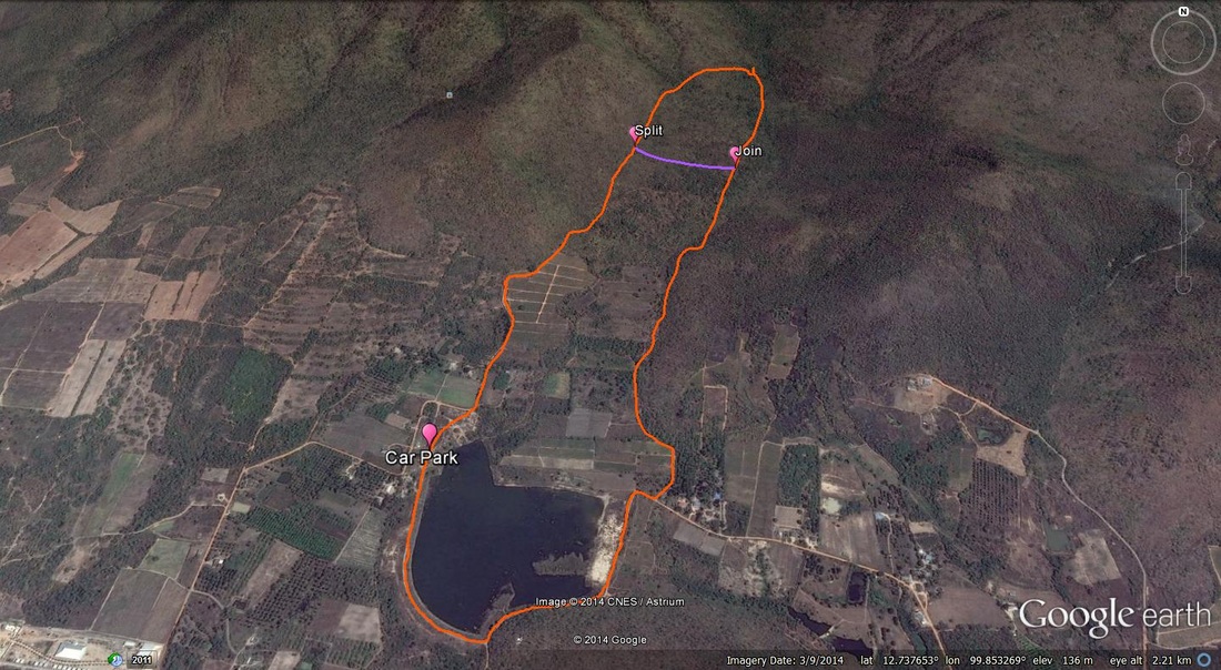
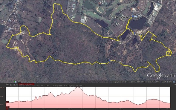
GPS scan and following disclaimer supplied by Hugmannanygoat. Before Hugs was punished on the ice for his bout of verbal diarrhea, he did try to warn us of a discerning nature regarding the shape of the trail and would have suggested it be named "Bell End In The Valley" or perhaps more relevant "A Complete Cockup". The runners trail was 6.72km and the walkers 5.2km. The trail went in a clockwork orange direction. Clear here for pictures from Ballbanger. Click here for pictures from Damo. You Tube video proudly created by Hugmannygoat Hares : Whoremonger and Ballbanger Date : 21st June 2014 Location : Same Dam place The run for me was 12.95 km going in a clockwise direction. The first section was relatively flat, followed by a steep hill which slowed down our pace. Pictures from No name Karn Many thanks to Whoremonger, Ballbanger and all the others who made this a great hash. Yesterdays runners trail for me was around 6.5 km in 66:13 min. Elevation - Min 49 m Max 106 m, Gain 146 m, Loss 146 m, Max slope - Ascent 22.0%, Descent 20.3%. Route went clockwise Distance to R/W Split was 289 m and took me 2:56 min Straight line distance between R/W Split and Merge is 430 m Distance from R/W Merge to finish was 3.9 km and took me 37:21 min Estimated total distance for walkers is 4.6 Km Runners loop was 2.2 km in 25:45 min.
Photos This run was held near the Springfield Golf course only a couple of days after the Military Coup. The runners trail was 8.1 K and the Walkers 5.26 K. These photos were taken by our hare Hugs and for more photos click HERE |
CHA AM
|


 RSS Feed