Todays Runners trail for me was 7.9 km in 89:43 min.
Elevation - Min 32 m Max 132 m, Gain/Loss 152 m.
Max slope - Ascent 24.9%, Descent 23.5%.Route went clockwise
Distance to the Short Walk Split: 2.1 km in 26:01
Distance to the Long Walk Split: 2.4 km in 29:35
Runners Loop: 2.2 km in 28:56
Distance from Merge to Finish: 3.3 km in 31:12
Long Walk trail : approximately 6.2 km
ON ON
Tinks
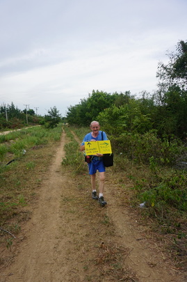
Photos by Hugmananny (use slideshow for the best viewing experience)
Elevation - Min 32 m Max 132 m, Gain/Loss 152 m.
Max slope - Ascent 24.9%, Descent 23.5%.Route went clockwise
Distance to the Short Walk Split: 2.1 km in 26:01
Distance to the Long Walk Split: 2.4 km in 29:35
Runners Loop: 2.2 km in 28:56
Distance from Merge to Finish: 3.3 km in 31:12
Long Walk trail : approximately 6.2 km
ON ON
Tinks
Photos by Hugmananny (use slideshow for the best viewing experience)
 RSS Feed