Todays Runners trail for me was 7.2 km in 67:40 min.
Elevation - Min 13 m Max 28 m, Gain/Loss 37.8 m (a Flat Run).
Max slope - Ascent 4.6%, Descent 3.9%.Route went anti-clockwise
Distance to the Split was 172 m and straight-line distance to merge around 700 m.
Runners Loop: 3.7 km
Distance from Merge to Finish: 3.4 km
Walkers trail : approximately 4.3 km
ON ON
Tinks
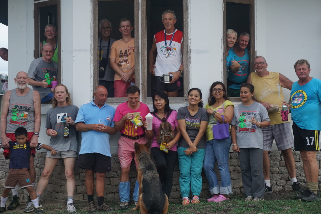
Pictures of Lost Boy Trail HERE (use slideshow for the best viewing experience)
Elevation - Min 13 m Max 28 m, Gain/Loss 37.8 m (a Flat Run).
Max slope - Ascent 4.6%, Descent 3.9%.Route went anti-clockwise
Distance to the Split was 172 m and straight-line distance to merge around 700 m.
Runners Loop: 3.7 km
Distance from Merge to Finish: 3.4 km
Walkers trail : approximately 4.3 km
ON ON
Tinks
Pictures of Lost Boy Trail HERE (use slideshow for the best viewing experience)
 RSS Feed