Write-up by Spook (with Hash Notes)
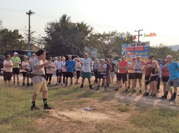
Photos from Special Services
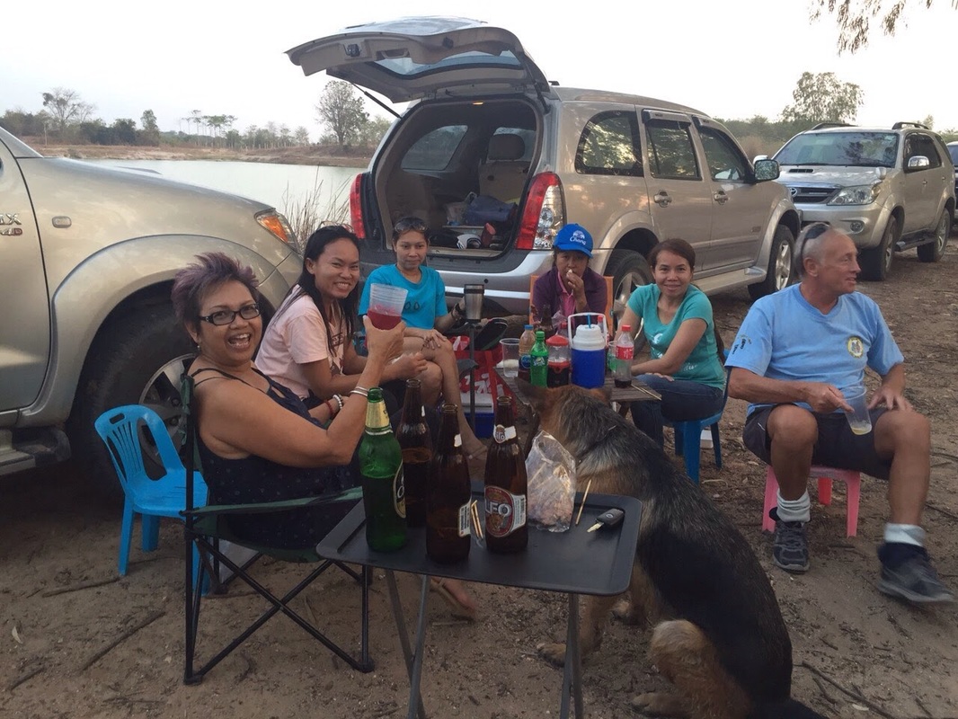
Photos from Hugmanannygoat
Photos from Mudlady
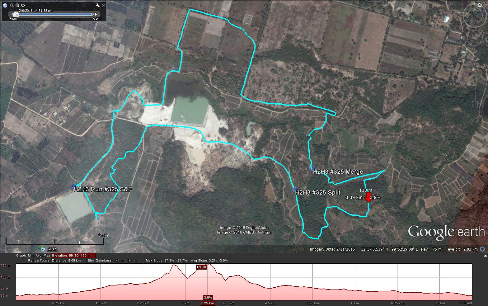
GPS scan by Tinks
Yesterdays Runners trail for me was 6.7 km in 65:00 min.
Elevation - Min 14 m Max 46 m, Gain/Loss 57 m.
Max slope - Ascent 10.9%, Descent 9.8%.
Route went anti-clockwise
Distance to Split 1.6 km
Distance to Merge 3.1 km
Distance to Finish 2.0 km
Distance between Spit & Merge around 1.5 km, making the walkers trail approximately 5.1 km.
Photos from Special Services
Photos from Hugmanannygoat
Photos from Mudlady
GPS scan by Tinks
Yesterdays Runners trail for me was 6.7 km in 65:00 min.
Elevation - Min 14 m Max 46 m, Gain/Loss 57 m.
Max slope - Ascent 10.9%, Descent 9.8%.
Route went anti-clockwise
Distance to Split 1.6 km
Distance to Merge 3.1 km
Distance to Finish 2.0 km
Distance between Spit & Merge around 1.5 km, making the walkers trail approximately 5.1 km.
 RSS Feed