Hash Notes by Tinks
Photos by Special Services including party - click on first photo, then F11 for full screen
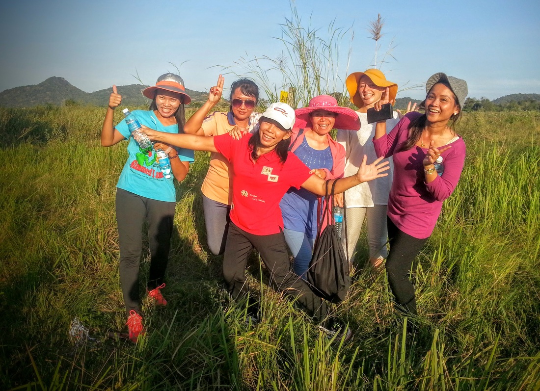
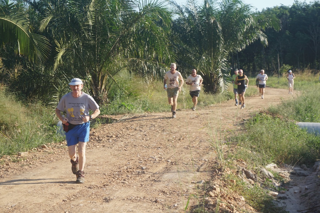
Photos by Cathusalem
Photos by Dragontail
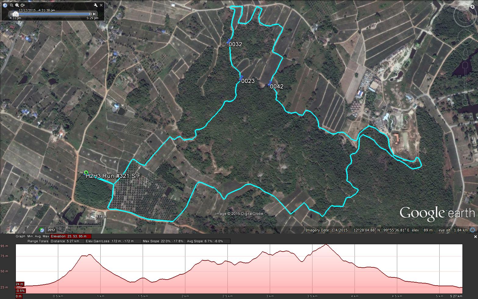
GPS scan by Tinks
Yesterdays Runners trail for me was 9.6 km in 101:37 min. (includes 550 m off trail)
Elevation - Min 27 m Max 92 m, Gain/Loss 107 m.
Max slope - Ascent 19.0%, Descent 15.2%.
Route went clockwise
Distance to SW Split 1.5 km
Distance to LW Split 0.6 km
Distance to LW Merge 3.9 km
Distance to SW Merge 3.7 km
Distance to Finish 3.7 km
Distance for Long Walk 6.2 km
Distance for Short Walk 3.5 km
Photos by Special Services including party - click on first photo, then F11 for full screen
Photos by Cathusalem
Photos by Dragontail
GPS scan by Tinks
Yesterdays Runners trail for me was 9.6 km in 101:37 min. (includes 550 m off trail)
Elevation - Min 27 m Max 92 m, Gain/Loss 107 m.
Max slope - Ascent 19.0%, Descent 15.2%.
Route went clockwise
Distance to SW Split 1.5 km
Distance to LW Split 0.6 km
Distance to LW Merge 3.9 km
Distance to SW Merge 3.7 km
Distance to Finish 3.7 km
Distance for Long Walk 6.2 km
Distance for Short Walk 3.5 km
 RSS Feed