Hash Notes by Brambles Bill
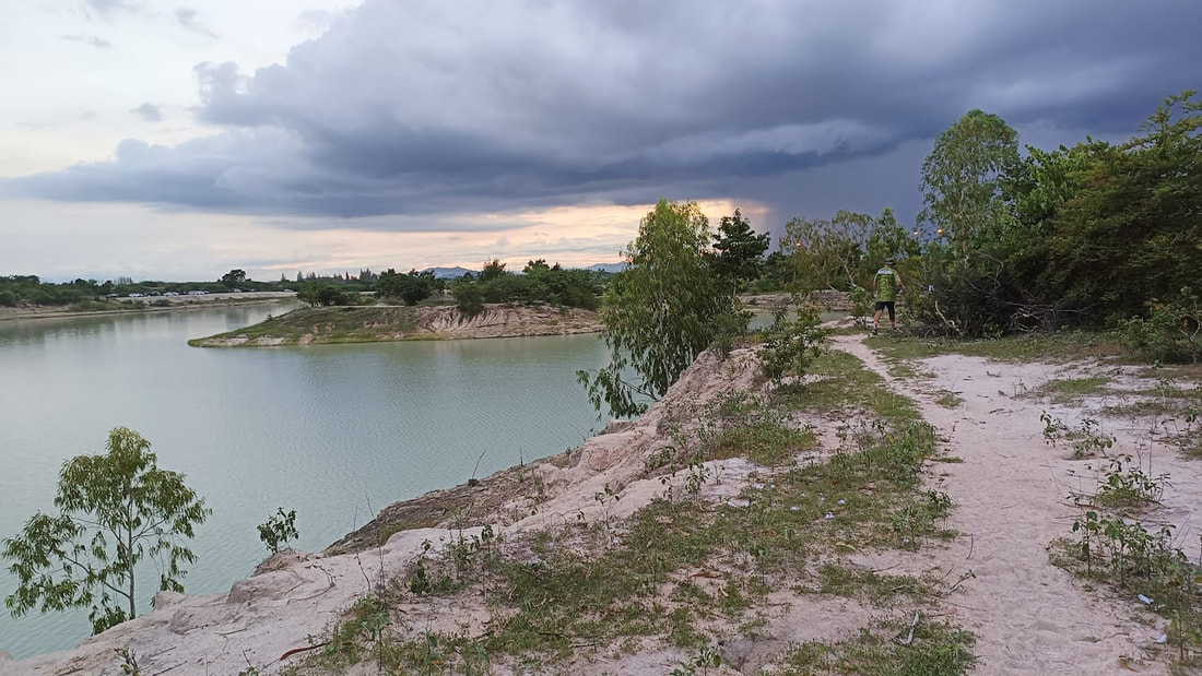
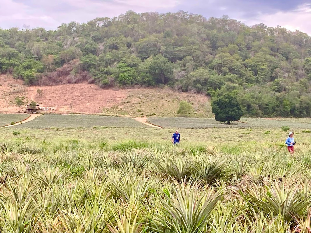
Hash Photos by Donga
Hash Photos by Global Walker
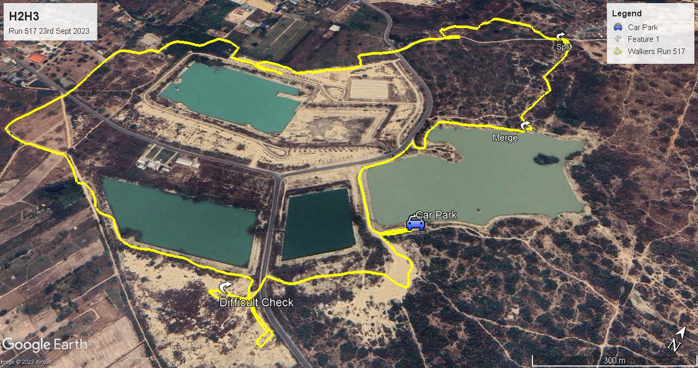
GPS Image of Walkers Trail completed by Hugs.
GPS Image of Trails set by Tinks, Golden Delicious & Orang Pippin.
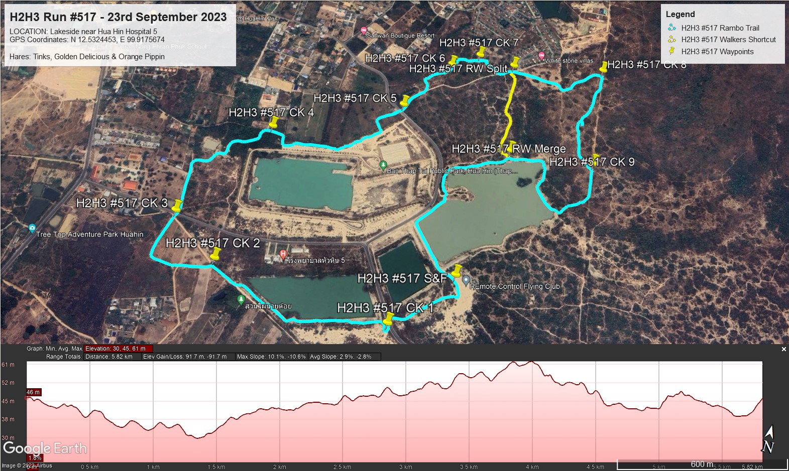
GPS Image of Rambo Trail Elevation Profile.
Last Saturdays (23/09/23) H2H3 Trails set by Tinks, Golden Delicious and Orange Pippin according to my GPS were:
Rambo Trail: 6.0 km.
Elevation: Min 30 m, Max 61 m, Gain/Loss 91.7 m.
Maximum Slope: Ascent 10.1%, Descent 10.6%.
Start to RW Spit: 3.5 km.
RW Split to RW Merge: 1.6 km.
RW Merge to Finish: 0.9 km.
For the Rambo’s who short cut to the finish you saved about 700 m.
Walkers Trail: 4.85 km.
Start to RW Spit: 3.5 km.
RW Split to RW Merge: 0.45 km.
RW Merge to Finish: 0.9 km.
Trails went clockwise.
On On Tinks
Hash Photos by Donga
Hash Photos by Global Walker
GPS Image of Walkers Trail completed by Hugs.
GPS Image of Trails set by Tinks, Golden Delicious & Orang Pippin.
GPS Image of Rambo Trail Elevation Profile.
Last Saturdays (23/09/23) H2H3 Trails set by Tinks, Golden Delicious and Orange Pippin according to my GPS were:
Rambo Trail: 6.0 km.
Elevation: Min 30 m, Max 61 m, Gain/Loss 91.7 m.
Maximum Slope: Ascent 10.1%, Descent 10.6%.
Start to RW Spit: 3.5 km.
RW Split to RW Merge: 1.6 km.
RW Merge to Finish: 0.9 km.
For the Rambo’s who short cut to the finish you saved about 700 m.
Walkers Trail: 4.85 km.
Start to RW Spit: 3.5 km.
RW Split to RW Merge: 0.45 km.
RW Merge to Finish: 0.9 km.
Trails went clockwise.
On On Tinks
 RSS Feed