Write-up by Jock Twat
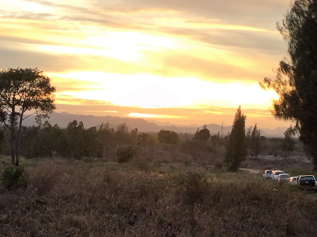
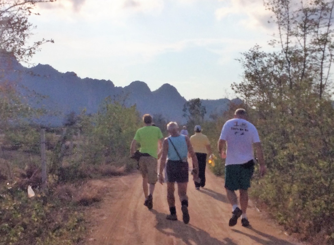
Photos by Special Services - for best view, click on first photo then F11 for full screen.
Photos by Keith with a Video
Photos by Hugmanannygoat
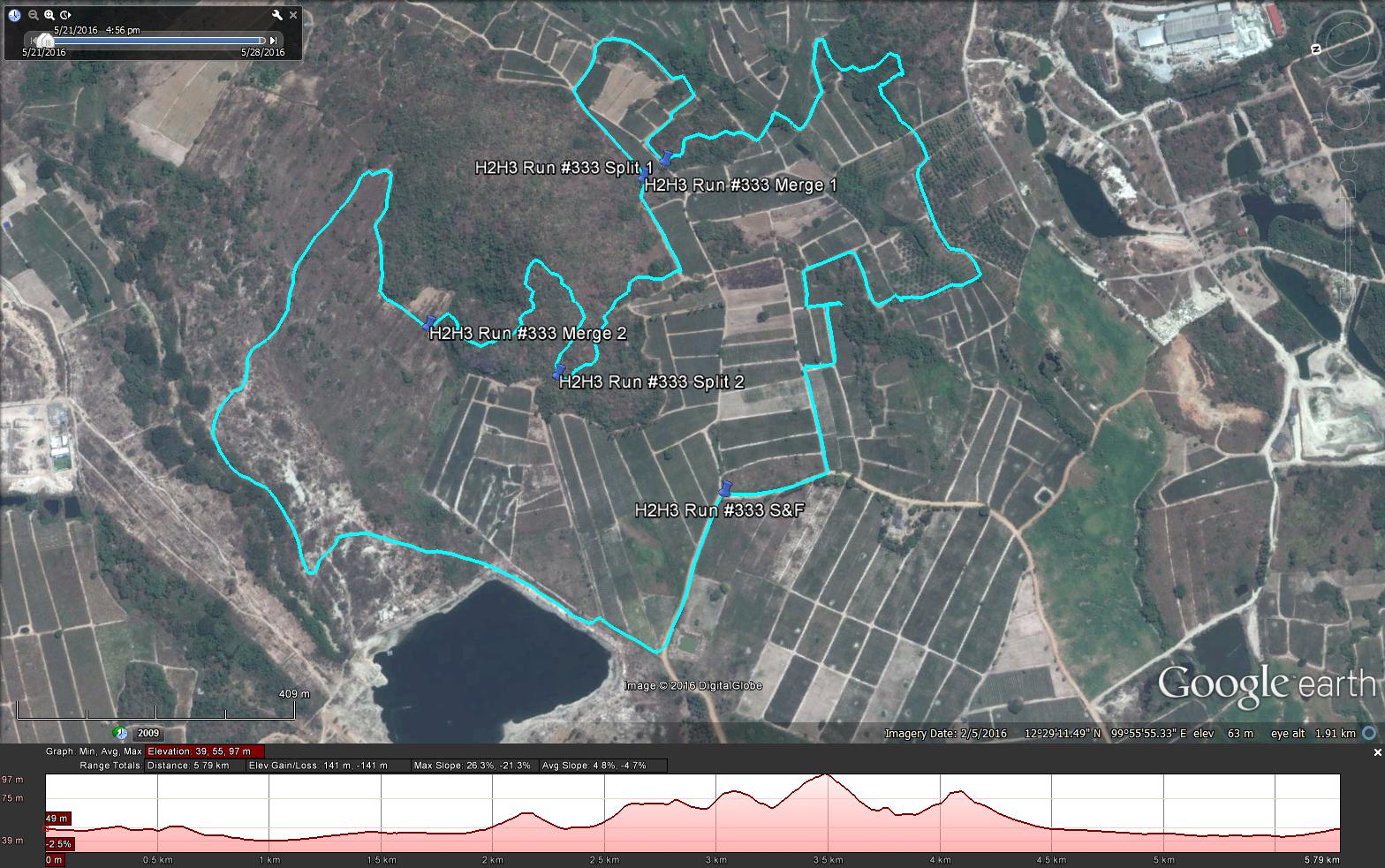
GPS scan by Tinks
Yesterdays Runners trail for me was 5.8 km in 68:59 min.
Elevation - Min 39 m Max 97 m, Gain/Loss 141 m.
Max slope - Ascent 26.3%, Descent 21.3%.
Route went anti-clockwise
Distance to Split 1 – 2.1 km
Runners Trail to Merge 1 - 0.68 km
Distance to Split 2 – 0.46 km
Runners Trail to Merge 2 - 0.56 km
Distance to Finish 2.0 km
Walkers Trail Split 1 to Merge 50 m
Walkers Trail Split 2 to Merge 250 m
Walkers Trail 4.86 km overall
Photos by Special Services - for best view, click on first photo then F11 for full screen.
Photos by Keith with a Video
Photos by Hugmanannygoat
GPS scan by Tinks
Yesterdays Runners trail for me was 5.8 km in 68:59 min.
Elevation - Min 39 m Max 97 m, Gain/Loss 141 m.
Max slope - Ascent 26.3%, Descent 21.3%.
Route went anti-clockwise
Distance to Split 1 – 2.1 km
Runners Trail to Merge 1 - 0.68 km
Distance to Split 2 – 0.46 km
Runners Trail to Merge 2 - 0.56 km
Distance to Finish 2.0 km
Walkers Trail Split 1 to Merge 50 m
Walkers Trail Split 2 to Merge 250 m
Walkers Trail 4.86 km overall
 RSS Feed