Photos by Hugmanannygoat
Notes by Cathusalem
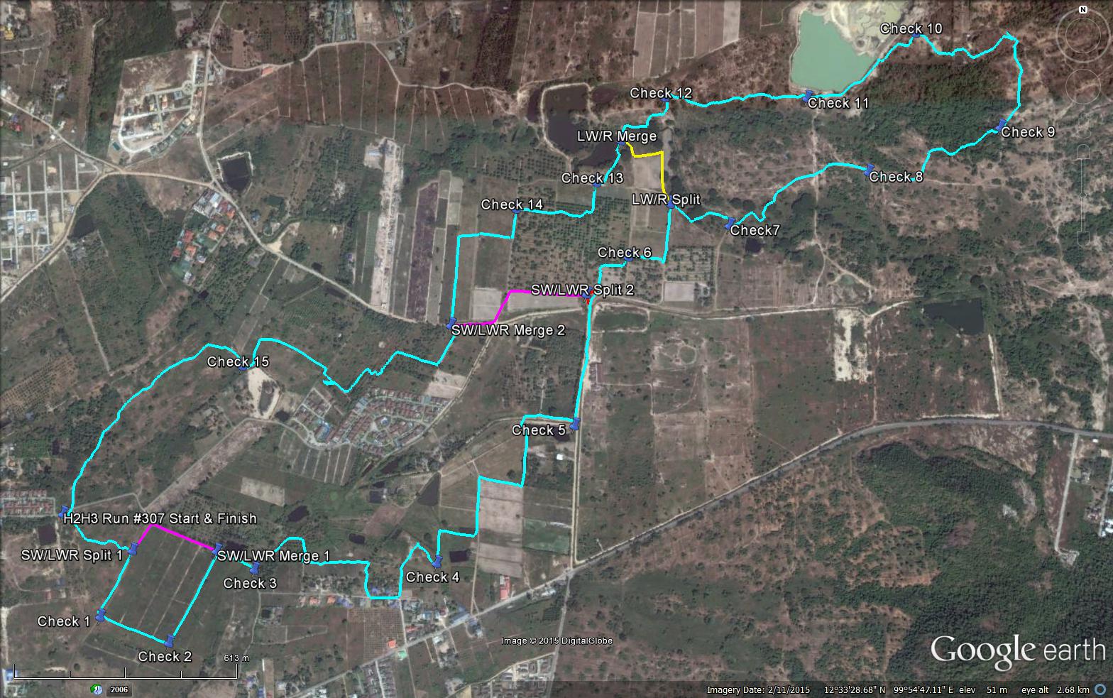
GPS scan by Tinks
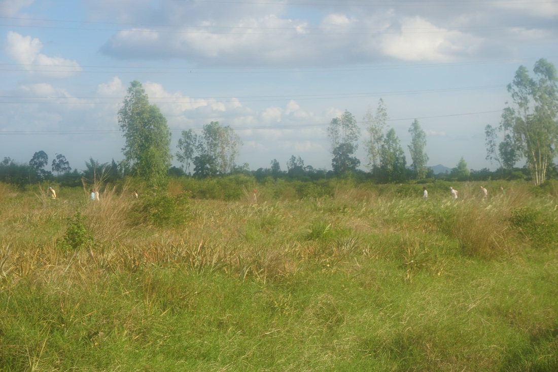
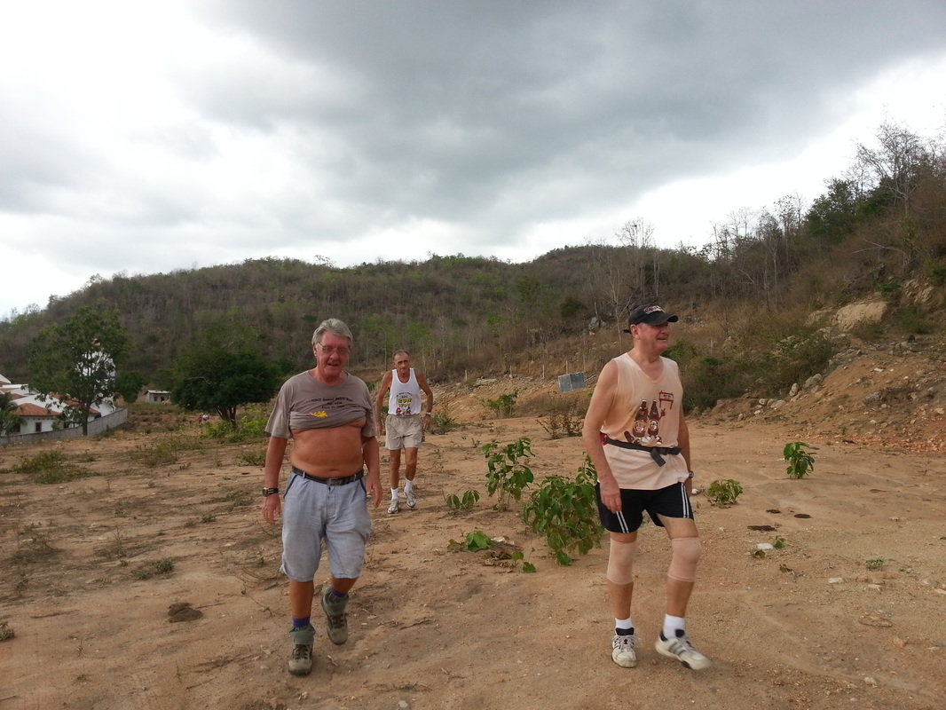
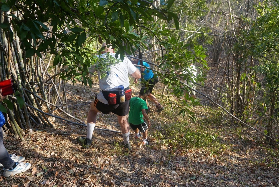
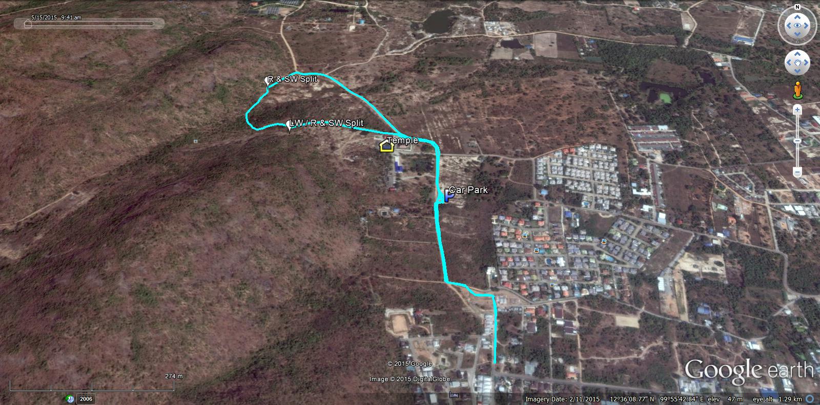
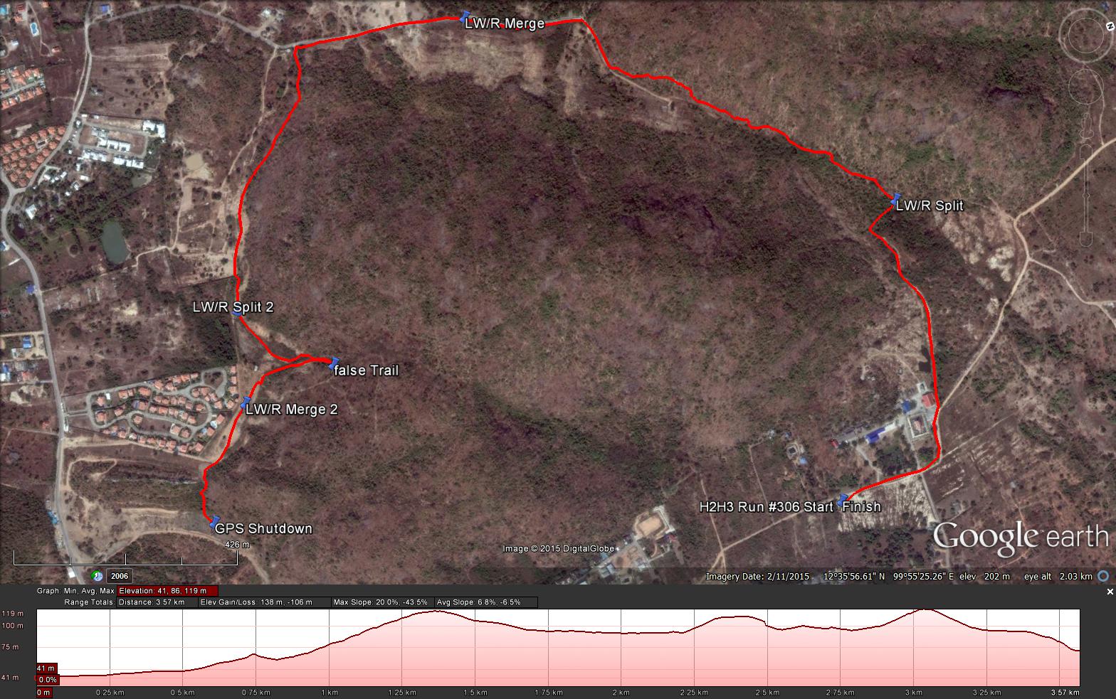
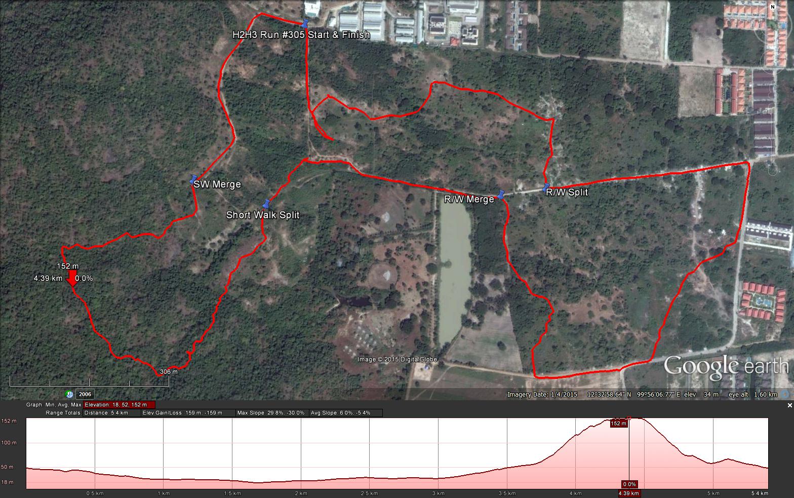
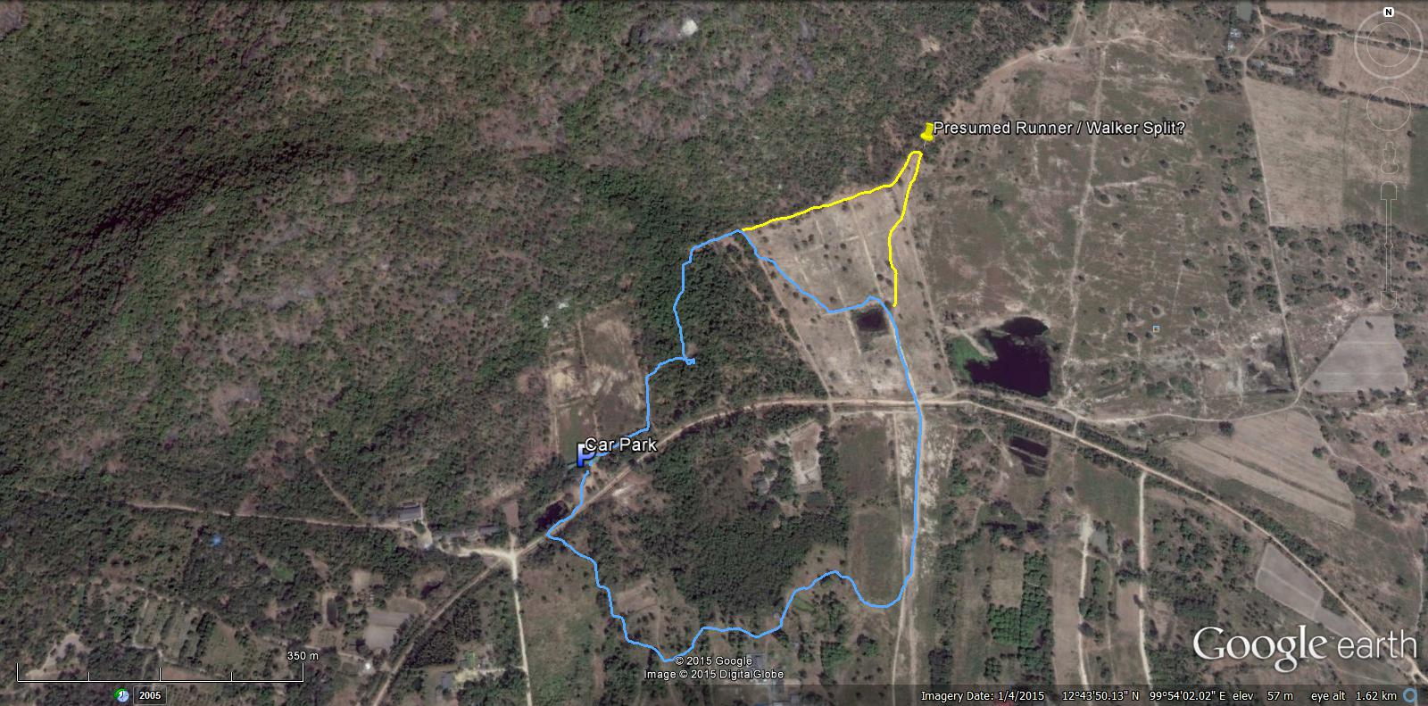
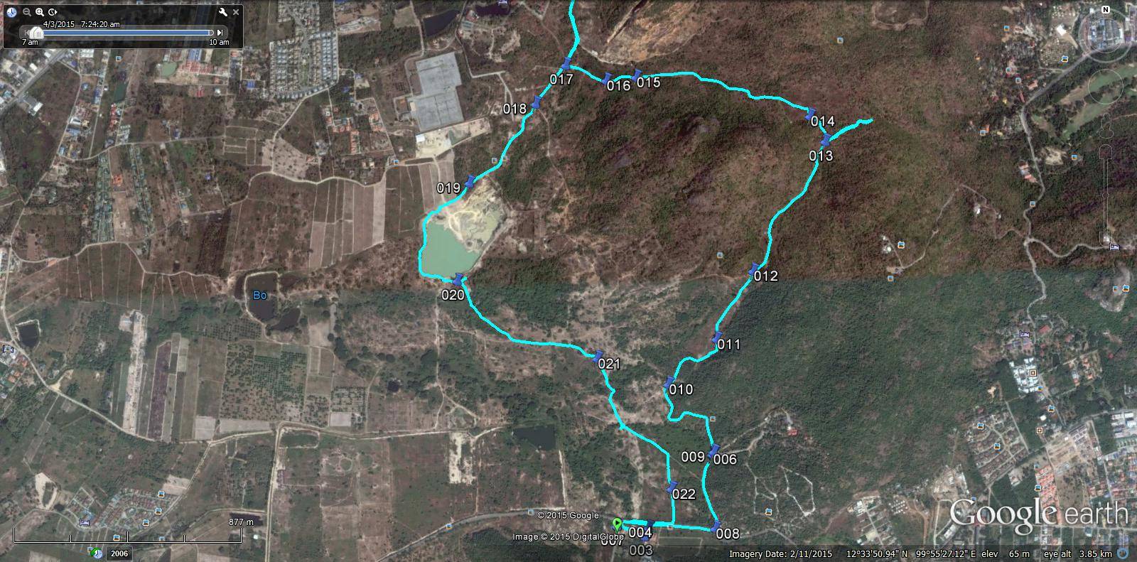
Last Saturdays trails laid by me and Golden Delicious were as follows:
Short Walk 4.526 k
Long Walk 6.049 k
Runners Trail 8.849 k
Route went anti-clockwise
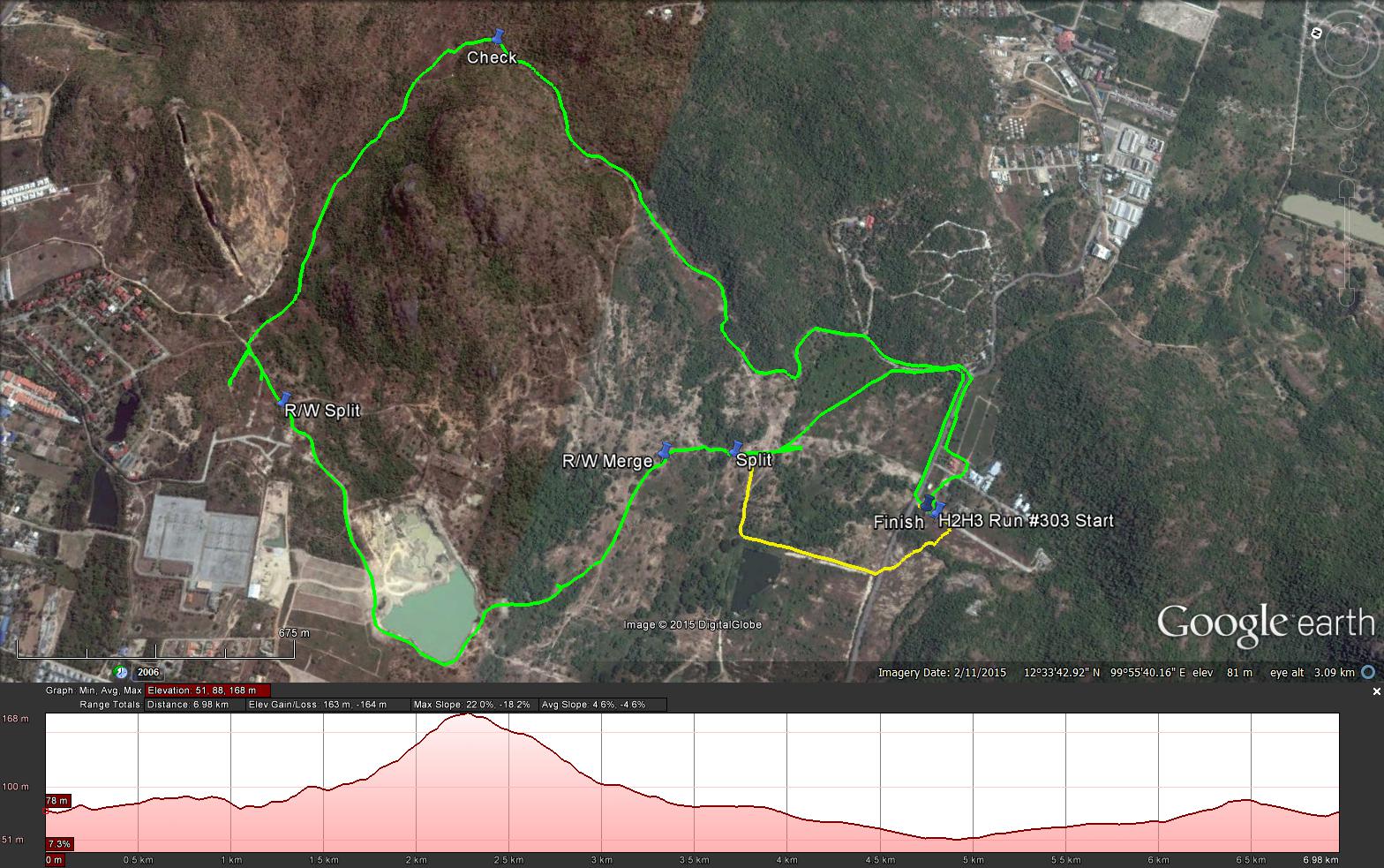
Notes by Cathusalem
GPS scan by Tinks
Last Saturdays trails laid by me and Golden Delicious were as follows:
Short Walk 4.526 k
Long Walk 6.049 k
Runners Trail 8.849 k
Route went anti-clockwise


 RSS Feed