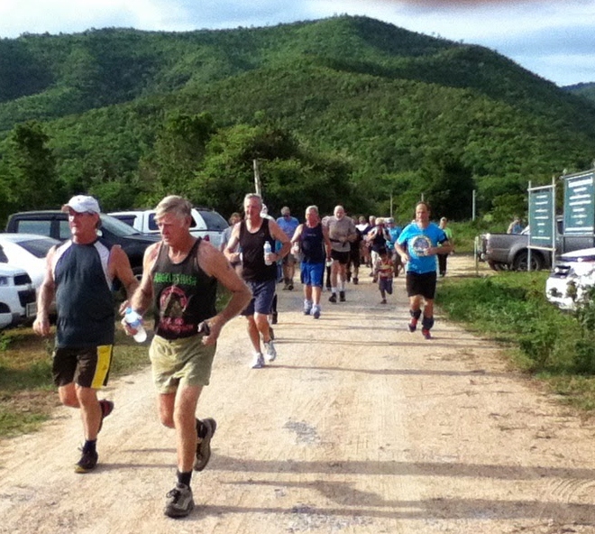
Photos by Ballbanger (slideshow recommended) using Google Chrome
Photos by Hugmanannygoat (ditto ditto)
GPS scan by Hugmanannygoat showing how the trail was planned
GPS scan by Tinks
Tinks's GPS commentary - click on Read More
Elevation - Min 113 m Max 249 m, Gain 200 m, Loss 200 m,
Max slope - Ascent 24.6%, Descent 17.7%.Route went clockwise
Distance to R/W Split 1.5 km in 15:18 min.
Runners Loop 2.6 km in 28:37 min
R/W Merge to Finish 3.0 km in 34:51

 RSS Feed