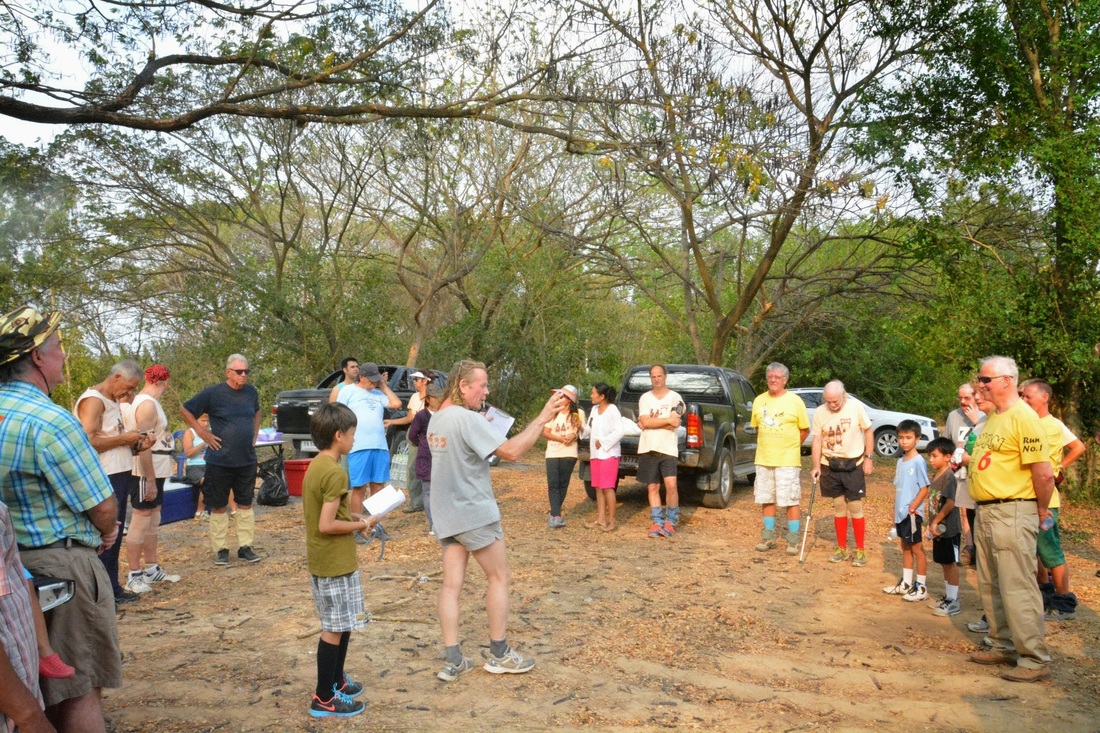
Photos by Mudgirl (recommend click on first photo then slideshow)
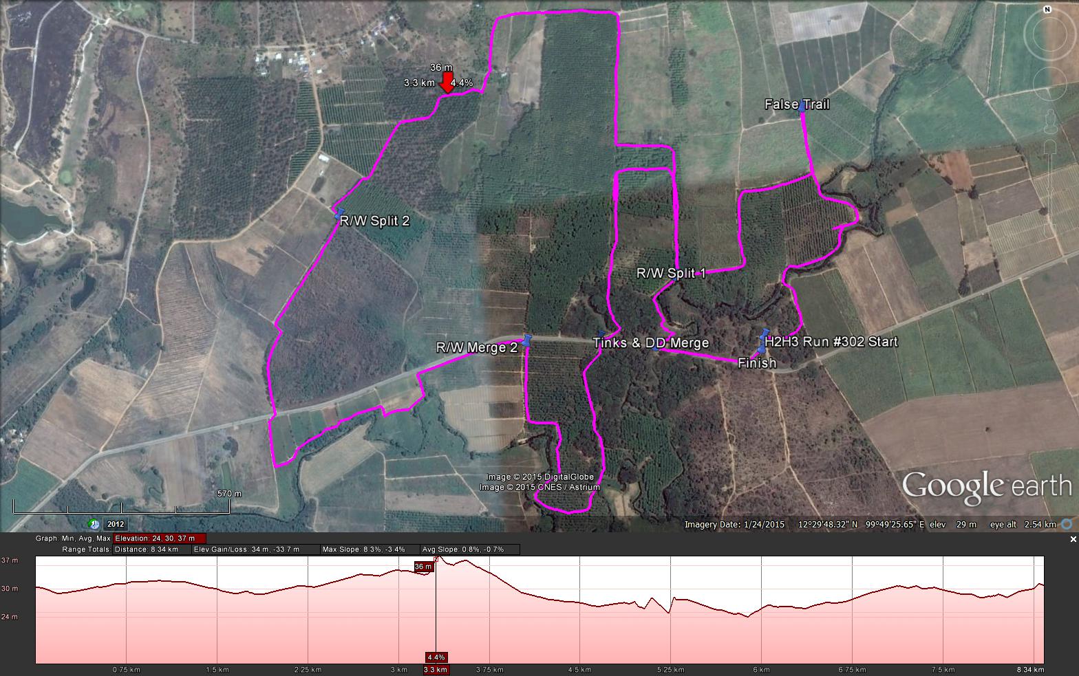
Hash Notes by Tinks
GPS scan by Tinks
Runners trail for me & David Delayed was 8.4 km in 94:40 min. which included a 1.5 km off trail loop(Tinks & DD Split to Merge)
Elevation - Min 24 m Max 37 m, Gain/Loss 34 m.
Max slope - Ascent 8.3%, Descent 3.4%.
Route went anti-clockwise
Distance to R/W Split 1: 1.8 km including a 430 m false trail
Runners Loop to R/W Spilt 2 : 2.1 km (did not see R/W Merge 1)
R/W Split 2 to Merge 2: 1.6 km
R/W Merge 2 to Tinks & DD Split: 1.1 km
Tinks & DD Split to Merge: 1.5 km
Tinks & DD Merge to Finish: 300 m
 RSS Feed