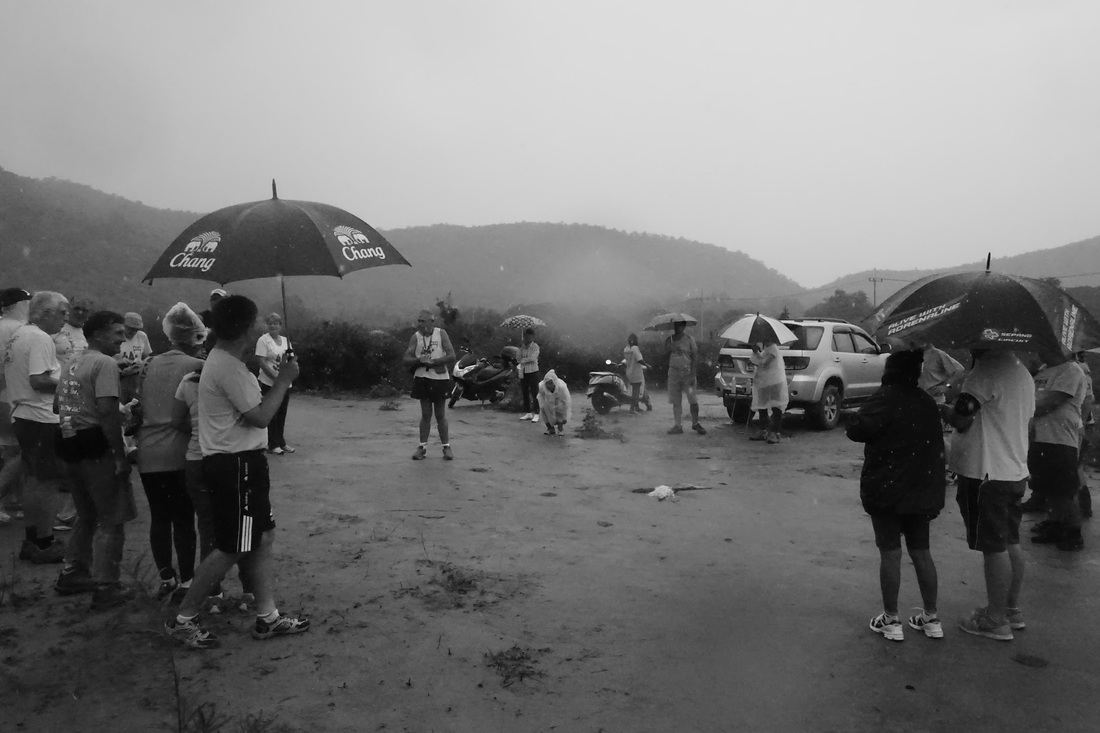
Photos by Hugmanannygoat
Photos by Cathusalem
Video by Hugmanannygoat
GPS scan by Tinks
Yesterdays Runners trail for me was 5.8 km in 69:47 min.
Elevation - Min 27 m Max 145 m, Gain/Loss 196 m.
Max slope - Ascent 29.9%, Descent 26.2%.
Route went anti-clockwise
Distance to Split: 1.8 km. Did not see the long walk and short walk merge points.

 RSS Feed