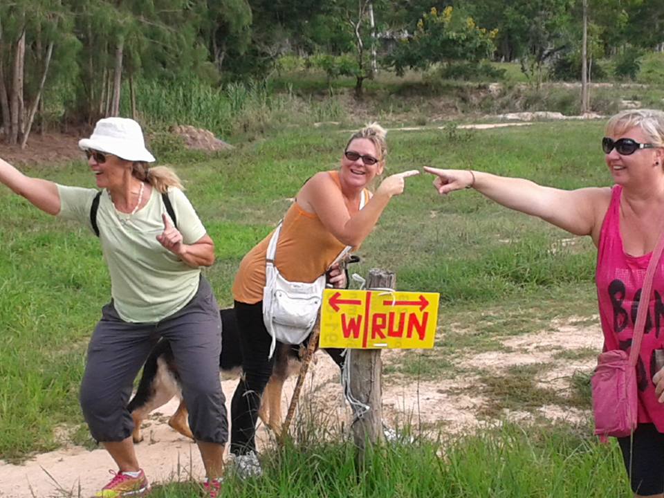
Hash Notes by Tinks
Photos by Paracetamol, Blowmedry and Hugmanannygoat
GPS scan of trails laid by Hugmanannygoat
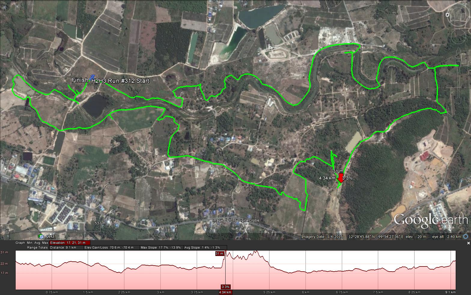
GPS scan of runners trail by Tinks
Yesterdays Runners trail for me was 9.2 km in 91:00 min.
Elevation - Min 17 m Max 31 m, Gain/Loss 70.4 m.
Max slope - Ascent 17.7%, Descent 13.9%. Route went anti-clockwise
Photos by Paracetamol, Blowmedry and Hugmanannygoat
GPS scan of trails laid by Hugmanannygoat
GPS scan of runners trail by Tinks
Yesterdays Runners trail for me was 9.2 km in 91:00 min.
Elevation - Min 17 m Max 31 m, Gain/Loss 70.4 m.
Max slope - Ascent 17.7%, Descent 13.9%. Route went anti-clockwise
 RSS Feed
.jpg)