Hash Notes by Tinks
GPS Scan by Tinks
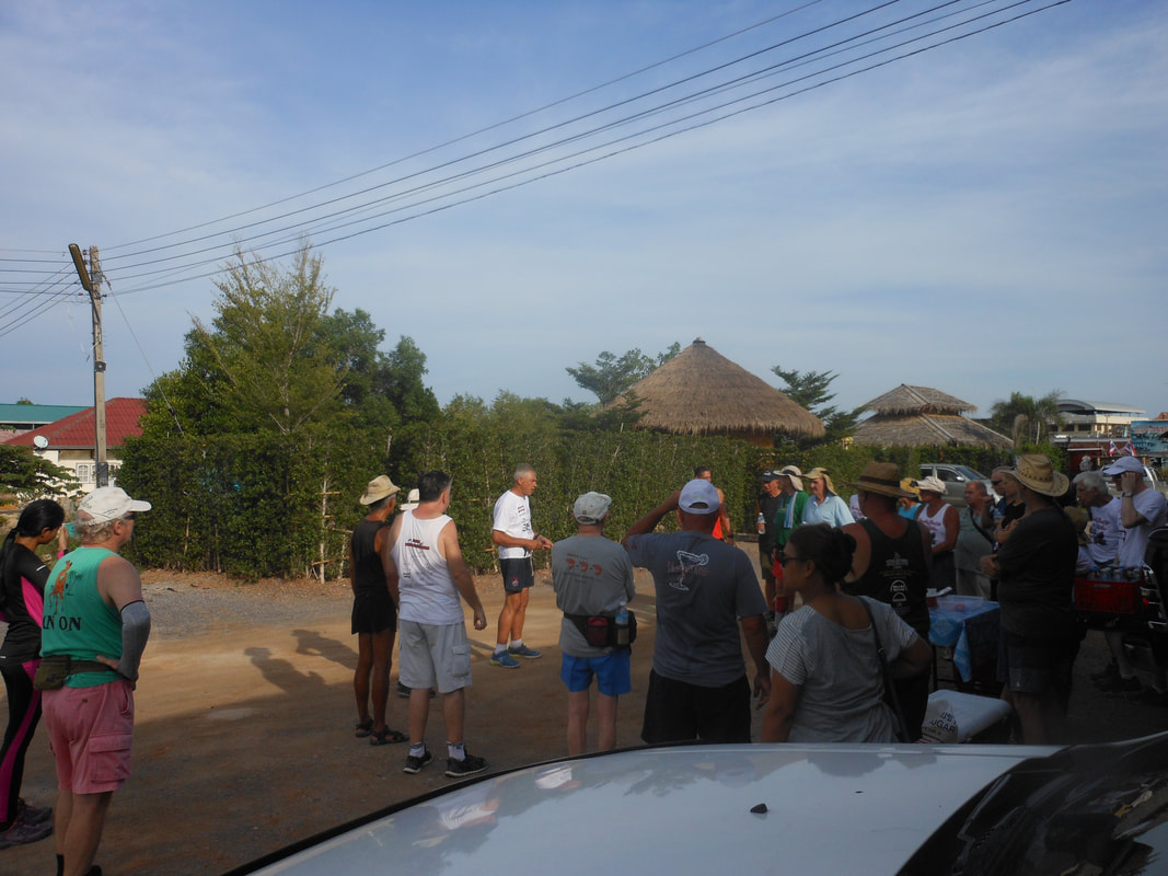
Photos by Philippe
Photos by Jock Twat and Rubber Duck
Photos by hugs
The GPS image by Tinks has been updated to include data from both Brambles and Hugs to reflect the trails completed by various Hashers.
Last Saturdays H2H3 Rambo trail set by VD & Virgin Hare Philippe for Tinks was 6.4 km and took 78:49 min. which included a lot of off trail and a return on the walkers out trail excluding the Mangrove boardwalk and the final runners’ loop which apparently was only completed by Brambles Bill.
Elevation: Min 1 m, Max 16 m, Gain/Loss 59.2 m.
Slope: Assent 9.5%, Decent 7.7%
Start to RW Split: 0.8 km in 9:36 min.
RW Split to Off Trail 1: 1.8 km in 20:39 min.
Off Trail 1 to False Trail (Red Track): 1.2 km in 16:48 min.
False Trail to Off Trail 2: 0.4 km in 4:46 min.
Off Trail 2 to On Trail 2 (Red Track): 0.6 km in 5:48 min.
On Trail 2 to RW Merge (Walkers Out Trail): 0.8 km in 8:42 min.
RW Merge to RW Split 2: 0.2 km in 4:48 min.
RW Split 2 to Finish: 0.6 km in 7:59 min.
Run Loop 2 (Magenta): 753 m according to Google Earth
Walkers Trail (Green): 4.1 km, from information supplied by Hugs.
Rambo Trail went anti-clockwise and Walkers Trail went clockwise
GPS Scan by Tinks
Photos by Philippe
Photos by Jock Twat and Rubber Duck
Photos by hugs
The GPS image by Tinks has been updated to include data from both Brambles and Hugs to reflect the trails completed by various Hashers.
Last Saturdays H2H3 Rambo trail set by VD & Virgin Hare Philippe for Tinks was 6.4 km and took 78:49 min. which included a lot of off trail and a return on the walkers out trail excluding the Mangrove boardwalk and the final runners’ loop which apparently was only completed by Brambles Bill.
Elevation: Min 1 m, Max 16 m, Gain/Loss 59.2 m.
Slope: Assent 9.5%, Decent 7.7%
Start to RW Split: 0.8 km in 9:36 min.
RW Split to Off Trail 1: 1.8 km in 20:39 min.
Off Trail 1 to False Trail (Red Track): 1.2 km in 16:48 min.
False Trail to Off Trail 2: 0.4 km in 4:46 min.
Off Trail 2 to On Trail 2 (Red Track): 0.6 km in 5:48 min.
On Trail 2 to RW Merge (Walkers Out Trail): 0.8 km in 8:42 min.
RW Merge to RW Split 2: 0.2 km in 4:48 min.
RW Split 2 to Finish: 0.6 km in 7:59 min.
Run Loop 2 (Magenta): 753 m according to Google Earth
Walkers Trail (Green): 4.1 km, from information supplied by Hugs.
Rambo Trail went anti-clockwise and Walkers Trail went clockwise
 RSS Feed