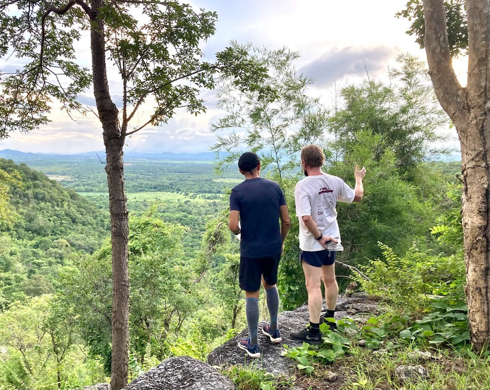
Hash Photos by Donga
GPS Image of Rambo's Trail by Tinks
The Rambo Trail set by Head Ballcock, Hong Ting Tong and Cock in a Frock tracked by Mudman carrying my GPS was 6.0 km in a moving time of 72.34 min. For some reason the initial part of the trail did not record.
Elevation: Min 55 m, Max 162 m, Gain/Loss 169 m.
Maximum Slope: Ascent 30.5%, Descent 32.3%.
Start to R/W Split: 1.2 km in 12.:15 min.
Rambo Loop: 2.5 km in 39:00 min.
R/W Merge to Finish 2.3 km in 21:19 min.
Trails went anti-clockwise.
On On Tinks

 RSS Feed