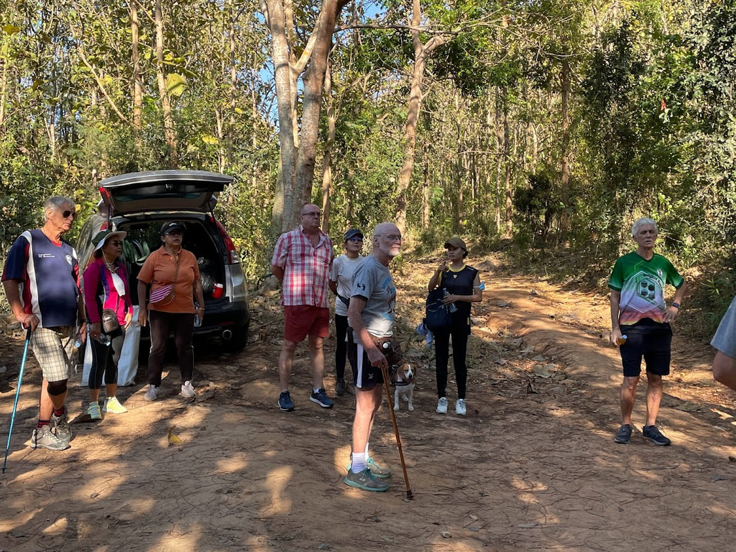
Hash Photos by Frock with a Cock
GPS Image of Rambo Trail by Brambles Bill
GPS Elevation Profile of Rambo Trail
Rambo Trail set by Matron and Pussy Peddler for Brambles Bill carrying my GPS tracker was 3.0 km in 40.12 min.
Elevation: Min 115 m, Max 161 m, Gain/Loss 109 m.
Maximum Slope: Ascent 21.9%, Descent 21.6%.
Start to RW Split: 0.46 km in 5:05 min
RW Split to RW Merge: 1.00 km in 17:01 min
RW Merge to Finish: 1.54 km in 18:06 min
Walkers Trail: 2.0 km
Trails went anti-clockwise for Walkers and figure 8 for Rambos.
On On Tinks

 RSS Feed