Hash Notes by Hugs
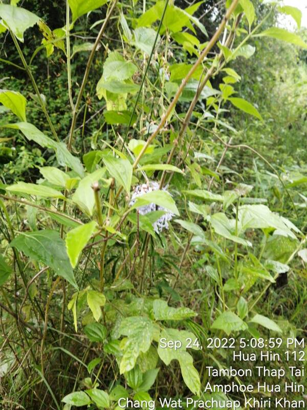
Hash Photos by Penny Pincher
GPS Image of Trails
Saturday’s (24/09/22) H2H3 Trails set by Tinks and Golden Delicious based on my GPS:
Rambo Trail (White) 6.6 km
Elevation: Min 37 m, Max 66 m, Gain/Loss 86.6 m.
Maximum Slope: Ascent 11.3%, Descent 9.7%.
Start to RW Split: 3.1 km.
RW Split to Car Park: 2.5 km.
Walkers Trail (Red) 4.8 km
Start to RW Split: 3.1 km.
RW Split to RW Merge: 0.7 km
RW Merge to Finish: 1.0 km
The trails went clockwise.
On On Tinks
 RSS Feed