Hash Notes by Head Ballcock
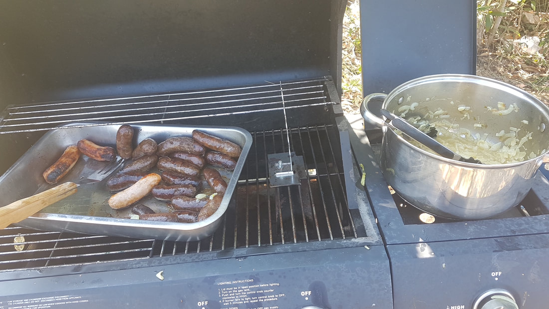
Hash Photos by Hugs
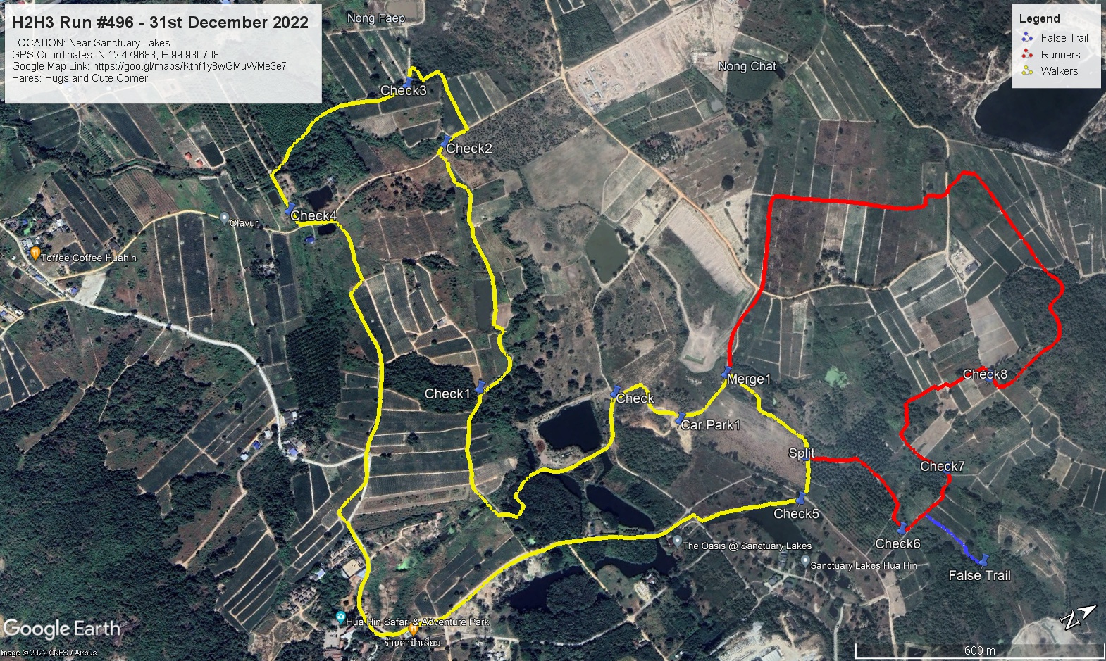
GPS Image of Trails
H2H3 Walkers Trail set by Hugs and Cute Comer based on his GPS was 5.3 km.
Start to RW Split: 4.7 km.
RW Split to RW Merge: 0.3 km
RW Merge to Finish: 0.2 km.
Elevation: Min 25 m, Max 36 m, Gain/Loss 52.2 m.
Maximum Slope: Ascent 5.4%, Descent 6.8%.
Rambo Loop according to Hugs GPS Tracking was 2.7 km
Elevation: Min 134 m, Max 187 m, Gain 52.5 m, Loss 55.9 m.
Maximum Slope: Ascent 18.8%, Descent 16.4%.
False Trail according to Hugs GPS Tracking was 183 m
Trails went anti-clockwise.
Relive Video file of Walkers trail by Tinks
On On Tinks
Hash Photos by Hugs
GPS Image of Trails
H2H3 Walkers Trail set by Hugs and Cute Comer based on his GPS was 5.3 km.
Start to RW Split: 4.7 km.
RW Split to RW Merge: 0.3 km
RW Merge to Finish: 0.2 km.
Elevation: Min 25 m, Max 36 m, Gain/Loss 52.2 m.
Maximum Slope: Ascent 5.4%, Descent 6.8%.
Rambo Loop according to Hugs GPS Tracking was 2.7 km
Elevation: Min 134 m, Max 187 m, Gain 52.5 m, Loss 55.9 m.
Maximum Slope: Ascent 18.8%, Descent 16.4%.
False Trail according to Hugs GPS Tracking was 183 m
Trails went anti-clockwise.
Relive Video file of Walkers trail by Tinks
On On Tinks
 RSS Feed