Relive Video of Rambo Trail by Tinks.
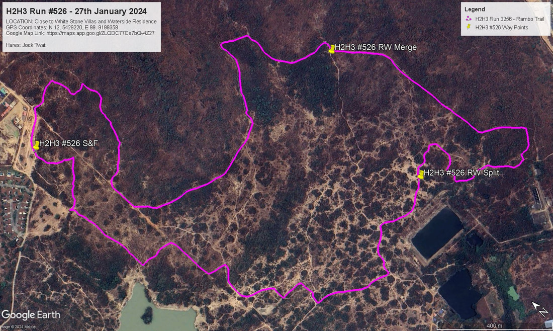
GPS Image of Trails set by Jock Twat
Rambo Trail set by Jock Twat according to my GPS completed on the Fun Run/Walk on 31st January was 6.00 km in a moving time of 83:35 mins.
Elevation: Min 58 m, Max 87 m, Gain/Loss 81.9 m.
Maximum Slope: Ascent 19.1%, Descent 19.6%.
Start to RW Split: 2.2 km. in 30.40 min.
RW Split to RW Merge: 1.5 km. in 20.59 min.
RW Merge to Finish: 2.3 km. in 31.56 min.
The trails went anti-clockwise.
On On Tinks

 RSS Feed