Hash Notes by Tinks
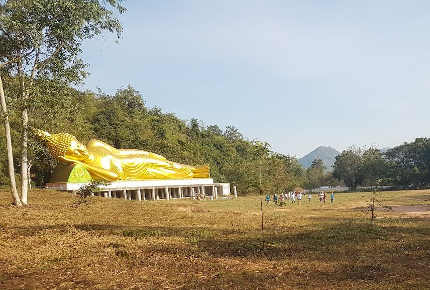
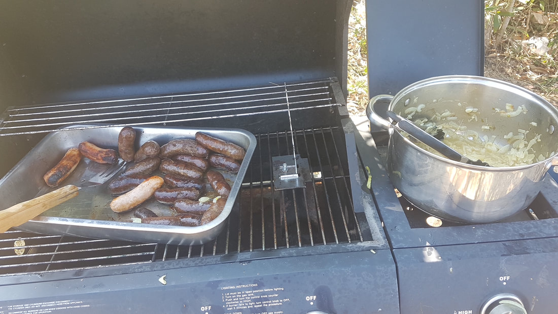
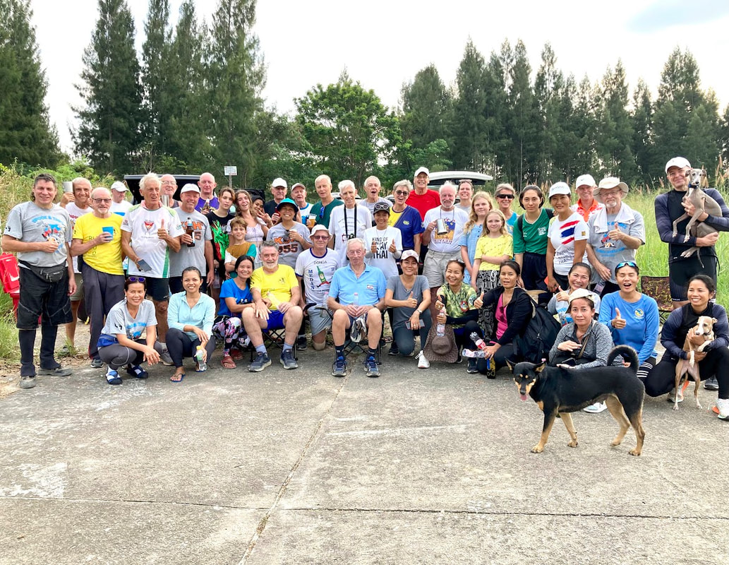
Hash Photos by Hugs
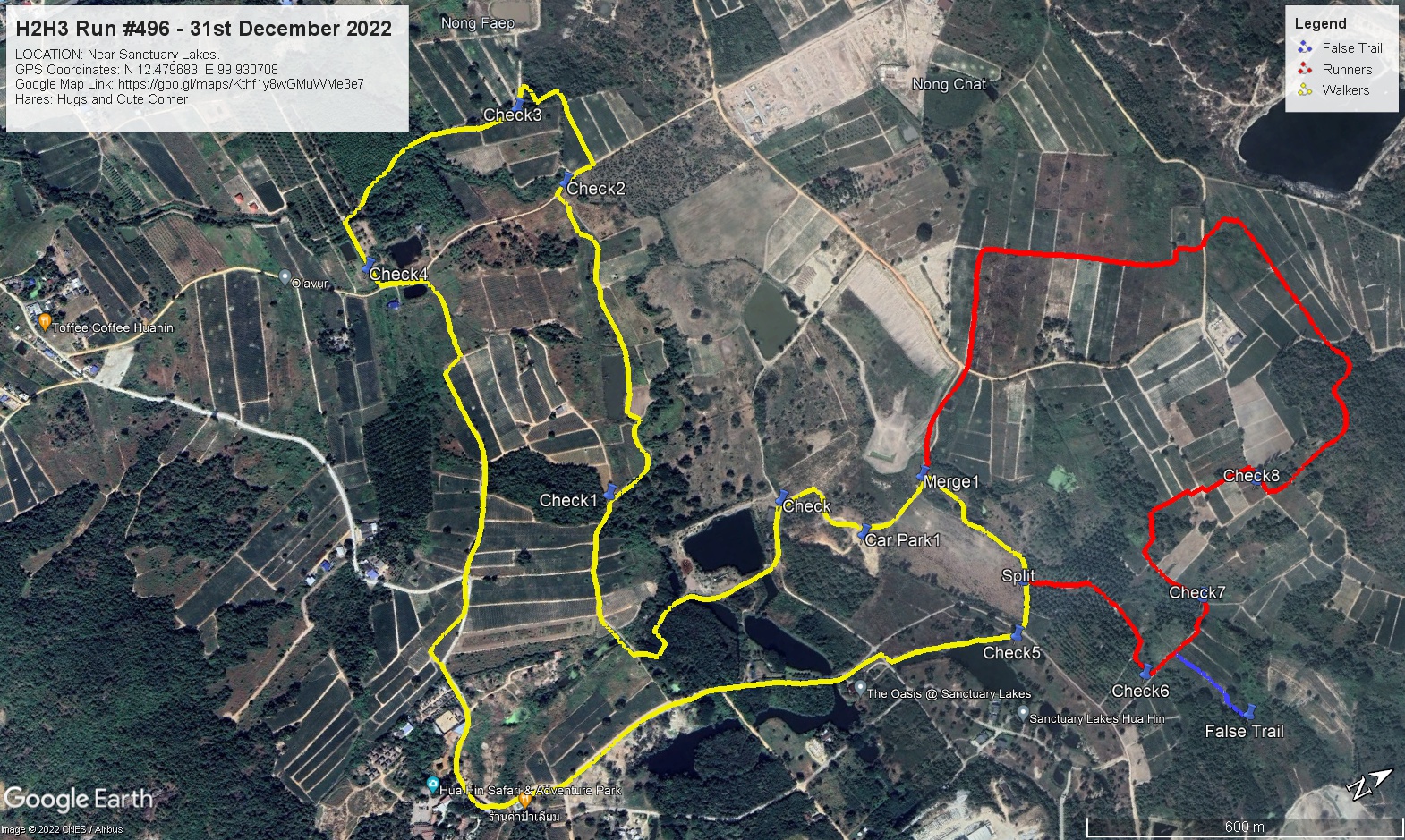
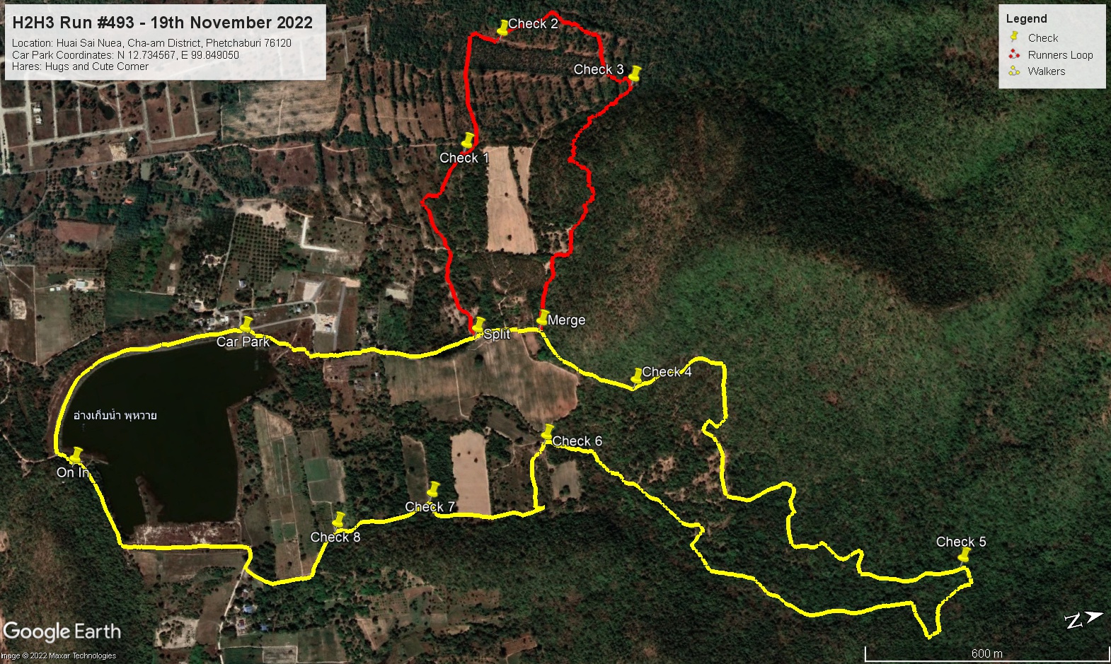
GPS Image of Trails
Saturday’s (14/01/23) H2H3 Walker Trail set by Dave the Rave, Hugs and Cute Comer based on Hugs GPS was 5.3 km.
Start to RW Split: 4.3 km.
RW Split to Finish: 1.0 km.
Elevation: Min 59 m, Max 71 m, Gain/Loss 53.1 m.
Maximum Slope: Ascent 8.9%, Descent 6.9%.
Rambo Loop according to Hugs GPS Tracking was 2.8 km.
Elevation: Min 52 m, Max 74 m, Gain 22.5 m, Loss 25.6 m.
Maximum Slope: Ascent 12.8%, Descent 5.6%.
False Trail according to Hugs GPS Tracking was 143 m
Trails went clockwise.
Relive Video file of trail by Tinks
On On Tinks
Hash Photos by Hugs
GPS Image of Trails
Saturday’s (14/01/23) H2H3 Walker Trail set by Dave the Rave, Hugs and Cute Comer based on Hugs GPS was 5.3 km.
Start to RW Split: 4.3 km.
RW Split to Finish: 1.0 km.
Elevation: Min 59 m, Max 71 m, Gain/Loss 53.1 m.
Maximum Slope: Ascent 8.9%, Descent 6.9%.
Rambo Loop according to Hugs GPS Tracking was 2.8 km.
Elevation: Min 52 m, Max 74 m, Gain 22.5 m, Loss 25.6 m.
Maximum Slope: Ascent 12.8%, Descent 5.6%.
False Trail according to Hugs GPS Tracking was 143 m
Trails went clockwise.
Relive Video file of trail by Tinks
On On Tinks


 RSS Feed