 Hash Notes by Tinks
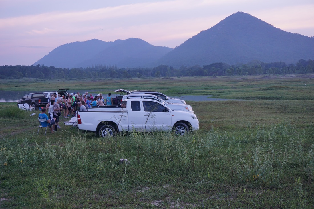
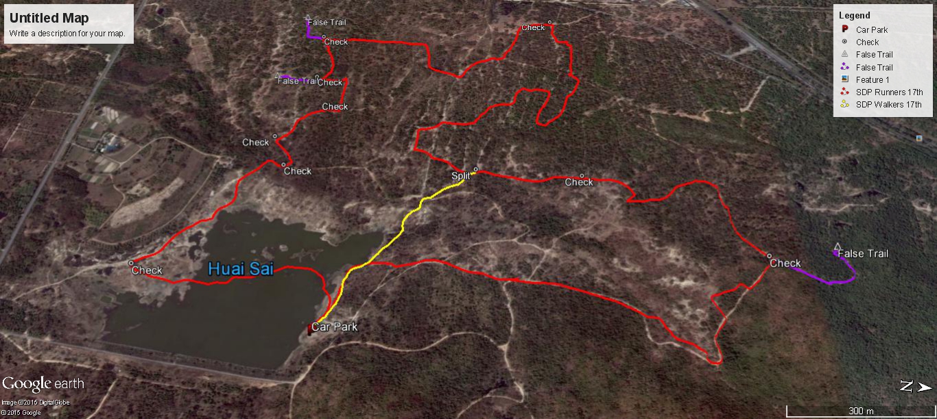
Photos by Hugmanannygoat Photos by Golden Delicious GPS scan of walkers trail by Hugmanannygoat GPS scan of runners trail by Tinks Yesterdays Runners trail for me was 4.9 km in 77:34 min. Elevation - Min 53 m Max 158 m, Gain/Loss 161.0 m. Max slope - Ascent 32.8%, Descent 31.2%. Route went anti-clockwise Distance to R/W Split: 1.9 km including 265 m off trail at the start Runners loop: 568 m and took me 22:25 min to complete of which 7:34 was spent finding the down trail R/W Merge to Finish: 2.4 k 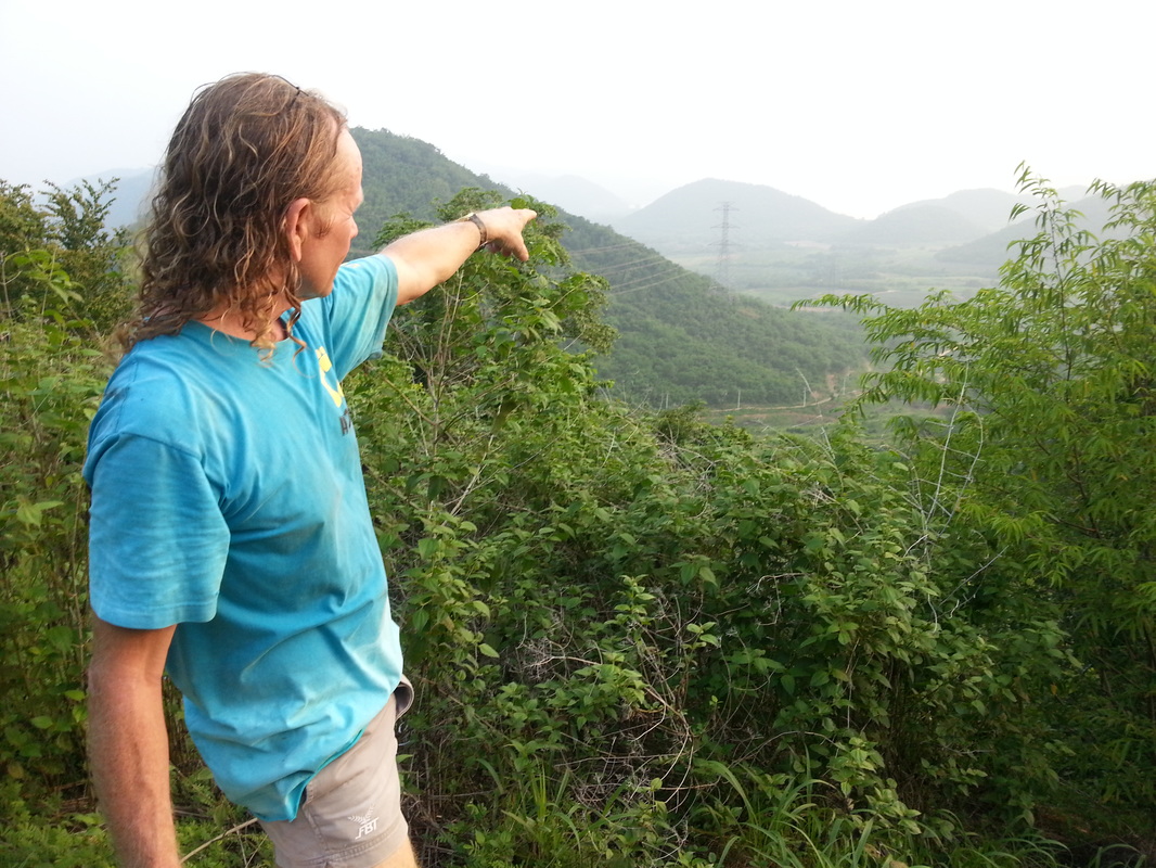 Hash Notes by Tinks
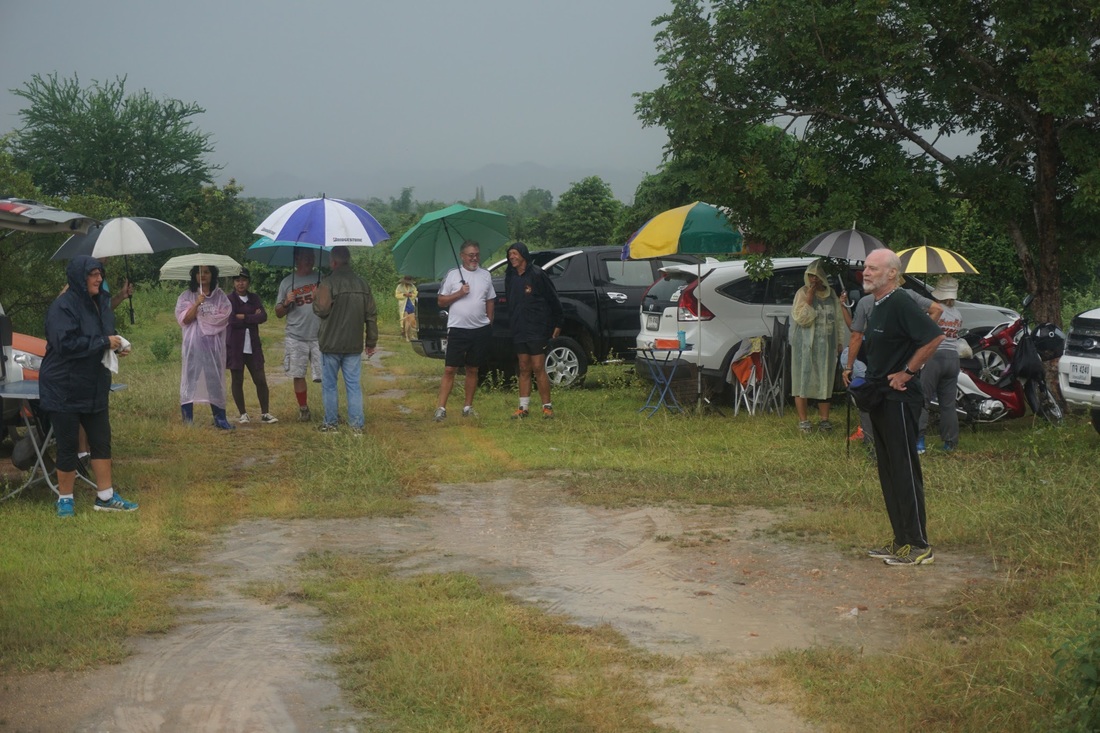
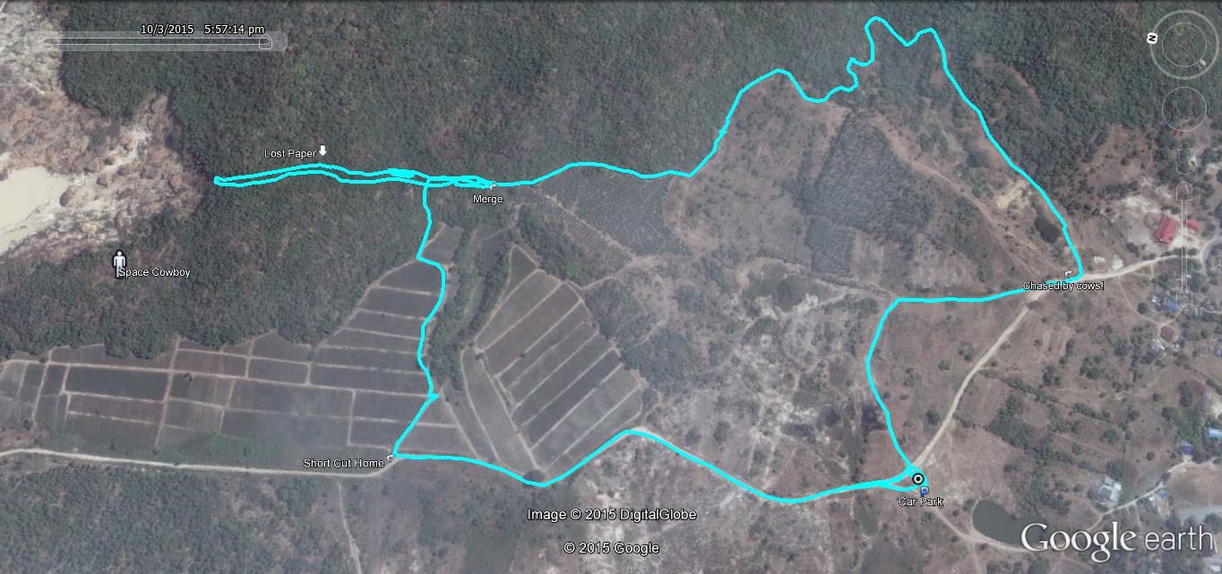
Photos by Cathusalem with notes as below I took the photos because Hugs had forgotten his camera. I'd already decided that I'd like to climb Mudman's "Hill of Death" but taking photos slowed me down a little. However, if I'd been closer to the pack going up the hill, I might have gone back down when they encountered bees.As it turned out Mudman caught me up in his sweeping operation, which he rightly judged necessary because of the terrain. Fortunately, we didn't see any bees and climbing together enabled me to photograph the hare on top of his infamous hill GPS scan of walkers trail by Hugmanannygoat. GPS scan of runnners trail by Tinks with notes as below Yesterdays Runners trail for me was 5.7 km in 80:57 min. Elevation - Min 26 m Max 145 m, Gain/Loss 177.0 m. Max slope - Ascent 36.3%, Descent 34.0%. Route went anti-clockwise Distance to R/W Split: 3.2 km including 400 m false trail Runners loop: 1.32 k and took me 32:31 min to complete. R/W Merge to Finish: 1.1 k Walkers Trail according to Hugs 5.67 km  60th Birthday Celebrations for Hugmanannygoat
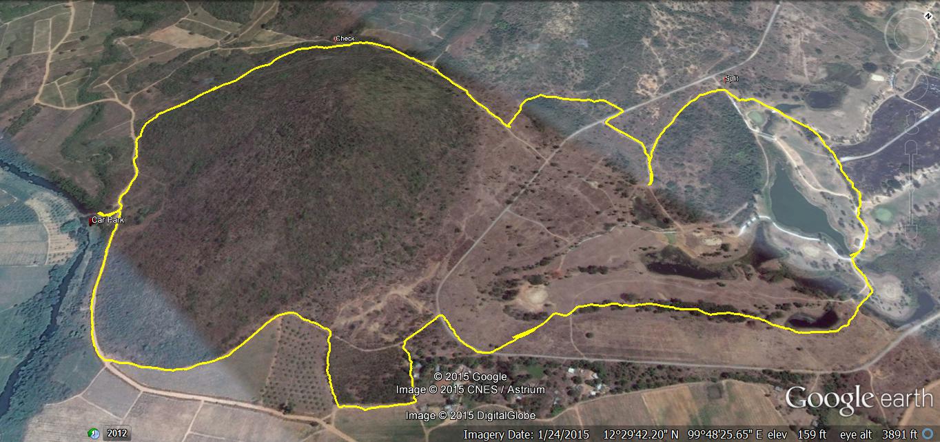
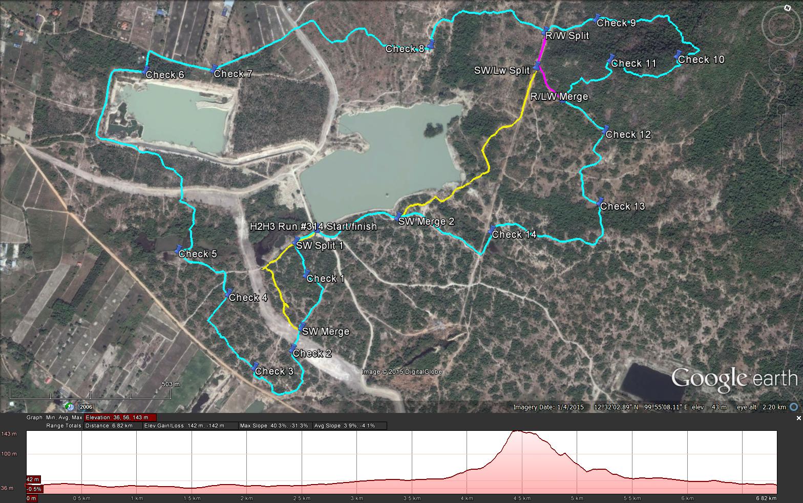
Hash Notes by Scotch Tape and Mudman (runners trail) Photos by Hugmanannygoat Photos by Ballbanger Photos by Bush Whacker (from the top of the hill) GPS scan of trails as laid by Tinks Runners Trail (Cyan): 6.9 km Elevation - Min 36 m Max 143 m, Gain/Loss 142.0 m. Max slope - Ascent 40.3%, Descent 31.3%. (Not as steep as the Mudman Hill on 6/08/2011 which was 47.5% and 35.8% respectively) Route went clockwise Long Walk (Magenta): 5.7 km Short Walk (Yellow): 5.2 km (Sorry Guys thought this was less than 5 km) 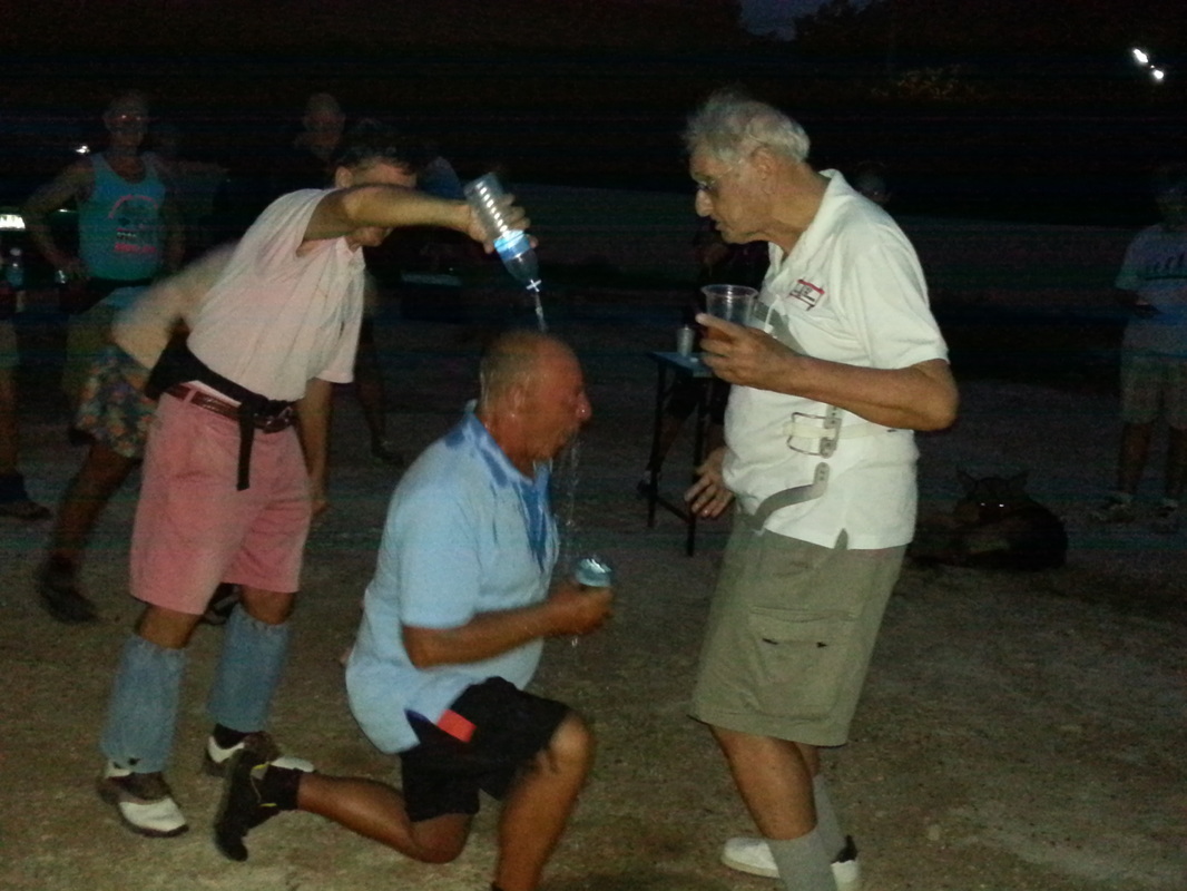 From this day henceforth and for evermore, you shall be known as One Brick Short
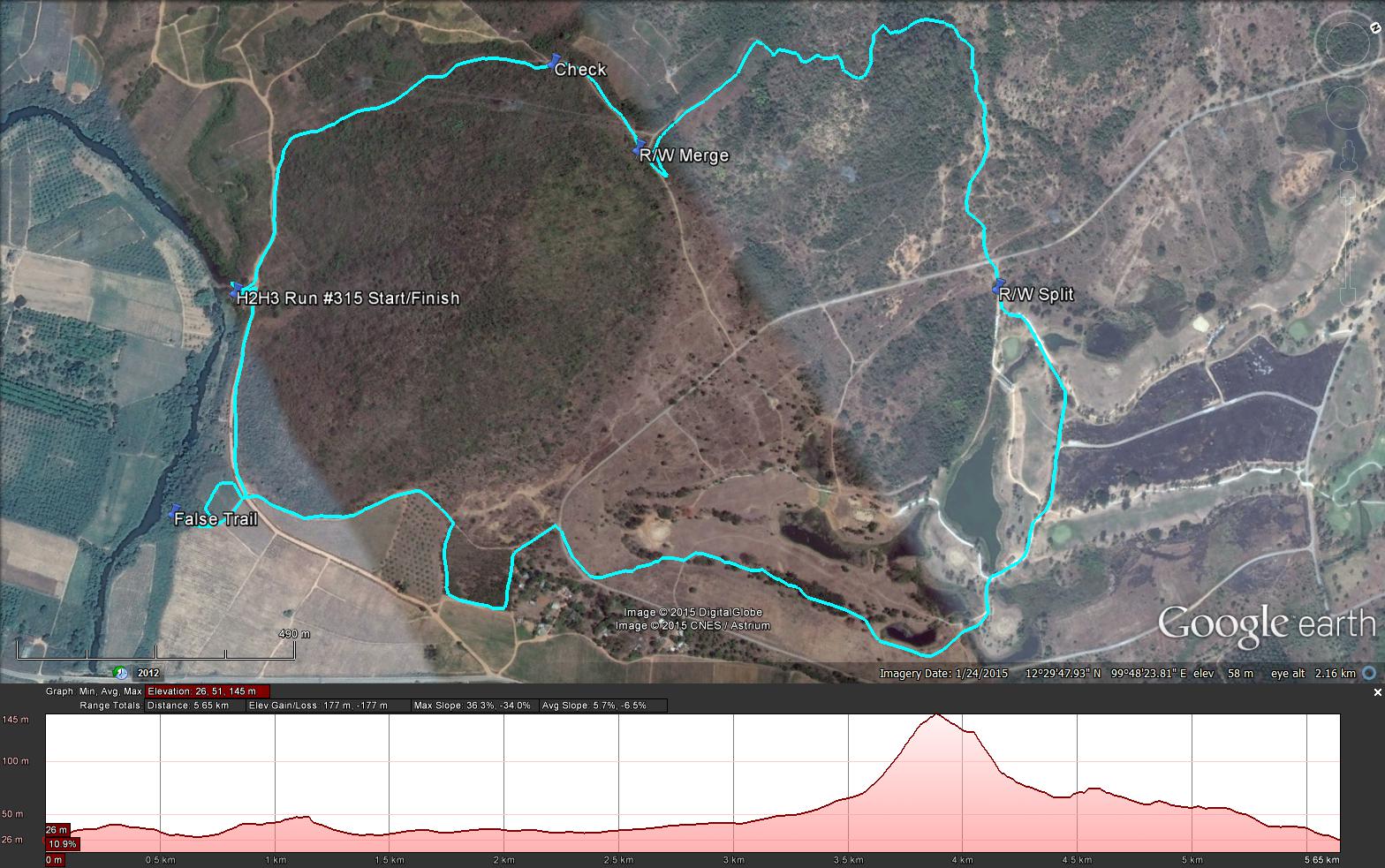
Hash Notes by Cathusalem Photos by Hugmanannygoat & Paracetamol Photos by Cathusalem IN MEMORIAM Photo of Ice Pussy taken about 10 years ago GPS scan by Tinks Yesterdays Runners trail for me was 4.9 km in 63:08 min. Elevation - Min 38 m Max 109 m, Gain/Loss 97.0 m. Max slope - Ascent 17.9%, Descent 20.2%.Route went anti-clockwise Distance to first merge: 662 m for Long Walk and 489 for Short Walk Distance to R/W spilt: 836 m Runners loop: 2 k including 400 m False Trail. R/W Merge to Finish: 1.4 k |
Hua HIN HASH TRASHDo you have any photos or write ups? Please send them to the Hash Trash Publisher Archives
May 2024
Categories |
 RSS Feed